
Country United States ZIP codes 50531, 51334 Elevation 404 m Local time Thursday 5:30 AM | Time zone CST (UTC-6) GNIS feature ID 0467787 Area 77.7 km² Population 193 (2000) | |
 | ||
Weather -4°C, Wind NE at 21 km/h, 97% Humidity | ||
Ellsworth Township is one of twelve townships in Emmet County, Iowa, USA. As of the 2000 census, its population was 193.
Contents
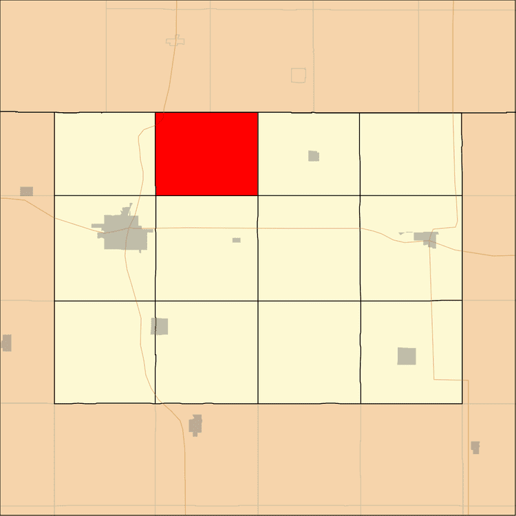
- Map of Ellsworth IA USA
- Geography
- Unincorporated towns
- Adjacent townships
- Cemeteries
- Major highways
- School districts
- Political districts
- References
Map of Ellsworth, IA, USA
Geography
According to the United States Census Bureau, Ellsworth Township covers an area of 29.06 square miles (75.27 square kilometers).
Unincorporated towns
(This list is based on USGS data and may include former settlements.)
Adjacent townships
Cemeteries
The township contains these two cemeteries: Ellsworth and Prosser.
Major highways
School districts
Political districts
References
Ellsworth Township, Emmet County, Iowa Wikipedia(Text) CC BY-SA