
Country India PIN 123501 Elevation 266 m Area code 01284 ISO 3166 code ISO 3166-2:IN | Time zone IST (UTC+5:30) Telephone code 01284 Population 30,016 (2010) Local time Tuesday 8:10 PM | |
 | ||
Weather 23°C, Wind E at 6 km/h, 45% Humidity Neighborhoods Sector 3, Phase-II, Mohalla Hasanpura | ||
Bawal is a municipality in Rewari district in the state of Haryana, India. Rewari district and hence Bawal lie in the National Capital Region (NCR) of India. It is located on national highway NH 48 (formerly called NH 8), about 14 km from Rewari city, 60 km from Gurgaon and 100 km from the capital, Delhi railway station. It was one of the three districts of the erstwhile Nabha State under British Raj.
Contents
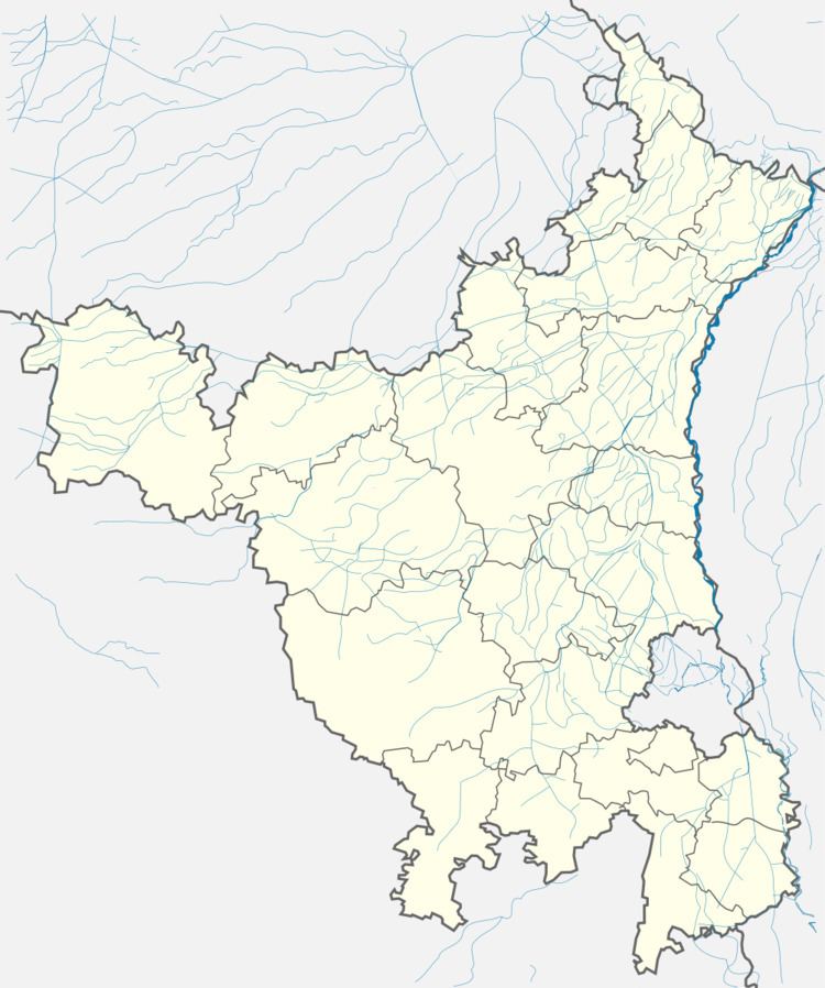
- Map of Bawal Haryana 123501
- Geography
- Demographics
- Bawal Industrial Area
- Delhi Mumbai Industrial Corridor
- Transport
- Schools
- References
Map of Bawal, Haryana 123501
Geography
Bawal is located at coordinates 28.08°N 76.58°E / 28.08; 76.58.
It has an average elevation of 266 metres (872 feet).
Demographics
As of the 2011 Census of India, the town had 2,962 households with a total population of 16,766, an increase of 28% over the 2001 figure of 13,016. There were 8,828 males and 7,948 females in 2011.
Bawal Industrial Area
A large industrial centre has been developed by the Haryana State Industrial and Infrastructure Development Corporation (HSIIDC) in Bawal. Many multinational corporations including Haco Group, Musashi Auto Parts India, POSCO, Kansai Nerolac, Asahi India, Atlas, YKK India Pvt. Ltd., Euothern Hema, Keihin, Caparo Maruti, Harley-Davidson and Ahresty India along with many Indian companies such as Omax, Rico, Minda Group, Rubyco International, Tenneco Automotive India, Continental Equipment and Multicolor Steels, Caparo power plant, etc. have have set up plants.
Delhi Mumbai Industrial Corridor
The Delhi Mumbai Industrial Corridor Project is an industrial development project undertaken by the Government of India to develop an industrial zone along Western Dedicated Freight Corridor on the Bombay-Ahmedabad-Palanpur-Ajmer and Kandla-Palanpur-Ajmer-Rewari railway routes. Bawal lies on this corridor and is one of the investment regions selected for development in the first phase of the project. HSIIDC has allotted industrial plots in Bawal for medium and large scale projects.
Transport
The nearest airport is Indira Gandhi International Airport at New Delhi, about 85 km away. Bawal Railway Station is on the Alwar-Rewari railway line.
National Highway NH 48 (formerly called NH 8) passes through Bawal connecting it with the major cities of Delhi, Jaipur, Ahmedabad, Vadodra, Surat and Mumbai. The former NH 71 used to connect Bawal to Rewari before it was realigned and widened to a 4-lane toll road bypassing east of Rewari city. Now NH 352 (former name NH 71) (Narwana-Jind-Rohtak-Jhajjar-Rewari) terminates on NH 48 about 10 km north of Bawal.