
- elevation 137 m (449 ft) | - elevation 1,220 m (4,003 ft) | |
 | ||
- right Dry River, Conglomerate Creek, Moroka River, Scrubby Creek, Wombat Creek, Castleburn Creek, Bulgaback Creek Lgas | ||
The Wonnangatta River is a perennial river of the Mitchell River catchment, located in the Alpine and East Gippsland regions of the Australian state of Victoria.
Contents
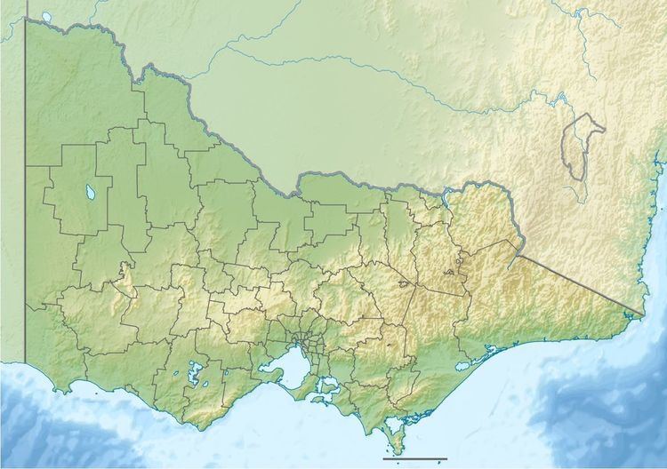
- Map of Wonnangatta River Crooked River VIC Australia
- Features and locationEdit
- EtymologyEdit
- References
Map of Wonnangatta River, Crooked River VIC, Australia
Features and locationEdit
The Wonnangatta River rises below Mount Despair, part of the Great Dividing Range, east of Mansfield in a remote state forestry protected area, called the Wonnangatta River Reference Area. The river flows generally south by east, in a highly meandering course, joined by eleven tributaries including the Dry, Humffray, Moroka, Wongungarra and Dargo rivers, before reaching its confluence with the Wentworth River and Swamp Creek to form the Mitchell River north of the Mitchell River National Park, in the Shire of East Gippsland. The river descends 1,110 metres (3,640 ft) over its 151-kilometre (94 mi) course.
At the locality of Riverford, the Dargo Road traverses the river.
EtymologyEdit
In the Australian Aboriginal Braiakaulung dialect of the Gunai language, there are two variant names for the Wonnangatta River; Wontwun; and WonnangaUa. Their meanings are not clearly defined.