
- right Riley Creek | - elevation 564 m (1,850 ft) - elevation 431 m (1,414 ft) | |
 | ||
Similar Wongungarra River, Cumberland River, Little River, Glenmaggie Dam, Murrindindi River | ||
The Humffray River is a perennial river of the Mitchell River catchment, located in the Alpine region of the Australian state of Victoria.
Contents
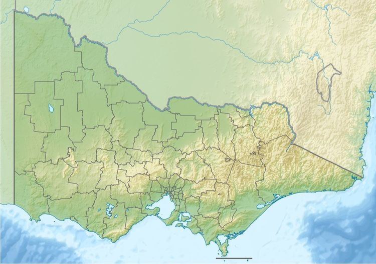
Map of Humffray River, Victoria, Australia
Location and features
Formed by the confluence of the Humffray River West Branch and Humffray River East Branch, the Humffray River rises below the Tea Tree Range within the Great Dividing Range, northeast of the Wonnangatta River Reference Area and flows generally south by east, joined by one minor tributary before reaching its confluence with the Wonnangatta River in remote country below Little Baldy within the Alpine National Park in the Alpine Shire. The river descends 133 metres (436 ft) over its 14-kilometre (8.7 mi) course.
References
Humffray River Wikipedia(Text) CC BY-SA