
- location west of Dinner Plain | - elevation 1,430 m (4,692 ft) - elevation 236 m (774 ft) | |
 | ||
- right Mount Selwyn Creek, Big Running Creek, Little Running Creek Similar Little River, Glenmaggie Dam, Cumberland River, Bemm River, Buchan River | ||
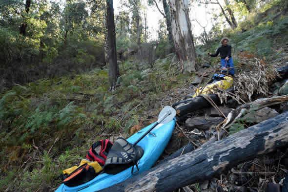
The Wongungarra River is a perennial river of the Mitchell River catchment, located in the Alpine region of the Australian state of Victoria.
Contents
Map of Wongungarra River, Victoria, Australia
Location and featuresEdit
The Wongungarra River rises below Mount Saint Bernard within the Great Dividing Range, west of Dinner Plain and south of both the Great Alpine Road and Mount Hotham. The river flows generally south by east, joined by six tributaries including the Crooked River before reaching its confluence with the Wonnangatta River near the small settlement of Crooked River south of the Alpine National Park in the Alpine Shire. The river descends 1,190 metres (3,900 ft) over its 66-kilometre (41 mi) course.
EtymologyEdit
In the Australian Aboriginal Brabralung/Daungwurrung dialect of the Gunai language, the name for the Wongungarra River is Gwannam-o-rook, meaning "eaglehawk".