
- left Budwuid Creek - elevation 1,260 m (4,134 ft) - elevation 160 m (525 ft) | - location west of Dinner Plain | |
 | ||
- right Shepherds Creek, Little Dargo River, Eighteen Mile Creek (Victoria), Two Mile Creek | ||
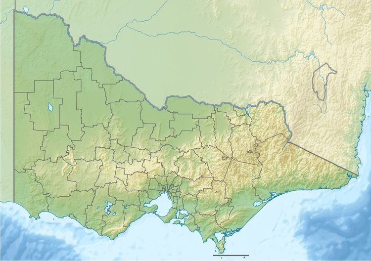
The Dargo River is a perennial river of the Mitchell River catchment, located in the Alpine and East Gippsland regions of the Australian state of Victoria.
Contents
Features and location
The Dargo River rises below Mount Higginbotham, part of the Great Dividing Range, west of Dinner Plain and south of the Great Alpine Road in the Alpine National Park. The river flows generally south by east, then west, then generally south in a highly meandering course, joined by five tributaries including the Little Dargo River, before reaching its confluence with the Wonnangatta River, south of Dargo and north of the Mitchell River National Park, in the Shire of East Gippsland. The river descends 1,100 metres (3,600 ft) over its 108-kilometre (67 mi) course.
Etymology
In the Australian Aboriginal Dhudhuroa and Waywurru languages, the name dargo means "to have patience" or "to wait".