
- elevation 1,030 m (3,379 ft) - elevation 213 m (699 ft) | - location below The Sentinels | |
 | ||
Similar Wongungarra River, Glenmaggie Dam, Cumberland River, Murrindindi River, Little River | ||
The Wellington River is a perennial river of the West Gippsland catchment, located in the Alpine region of the Australian state of Victoria.
Contents
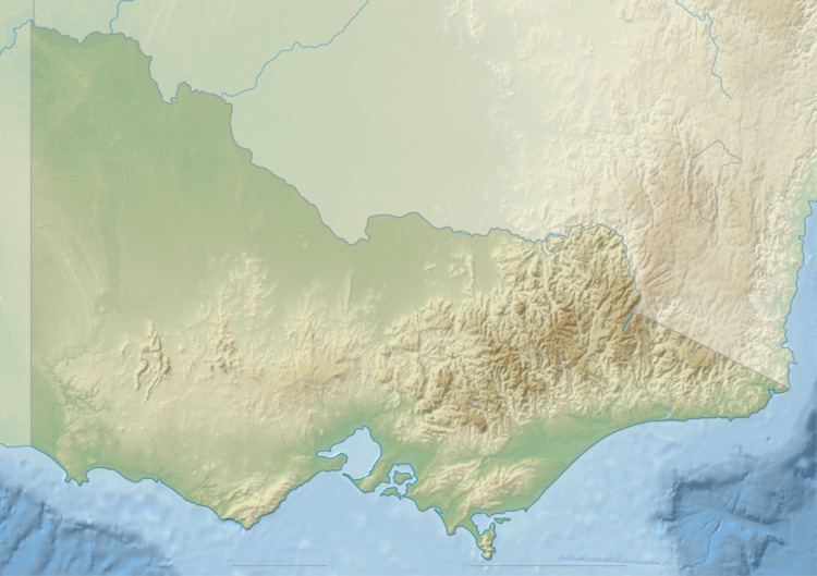
Map of Wellington River, Licola VIC, Australia
Features and location
The Wellington River rises below The Sentinels within the Snowy Range of the Great Dividing Range. The river flows through parts of the Alpine National Park and Avon Wilderness Park in a highly meandering course, generally southwest then west, then southwest, then west, then west by north, before heading south, joined by three tributaries including the Carey and Dolodrook rivers, and reaching its confluence with the Macalister River, north of Licola, in the Shire of Wellington. The river descends 820 metres (2,690 ft) over its 40-kilometre (25 mi) course.
References
Wellington River Wikipedia(Text) CC BY-SA