
- location below Gable End | - elevation 1,080 m (3,543 ft) - elevation 436 m (1,430 ft) | |
 | ||
Similar Bonang River, Caledonia River, Wongungarra River, Cumberland River, Glenmaggie Dam | ||
The Dolodrook River is a perennial river of the West Gippsland catchment, located in the Alpine region of the Australian state of Victoria.
Contents
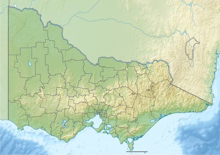
Map of Dolodrook River, Victoria, Australia
Features and location
The Dolodrook River rises below Gable End within the Snowy Range of the Great Dividing Range. The river flows through parts of the Alpine National Park, generally west, then west by north, then north, before reaching its confluence with the Wellington River in a remote state forestry area in the Shire of Wellington. The river descends 639 metres (2,096 ft) over its 13-kilometre (8.1 mi) course.
References
Dolodrook River Wikipedia(Text) CC BY-SA