
- left McFarlane Creek | - elevation 1,370 m (4,495 ft) - elevation 473 m (1,552 ft) | |
 | ||
- location below Nre Surveyors Creek Camp | ||
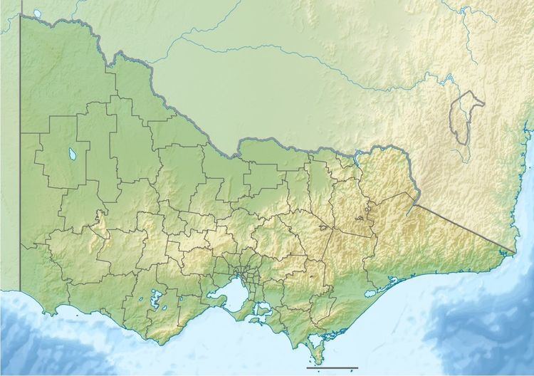
The Carey River is a perennial river of the West Gippsland catchment, located in the Alpine region of the Australian state of Victoria.
Contents
Map of Carey River, Buragwonduc VIC, Australia
Features and location
The Carey River rises below Nre Surveyors Creek Camp within the Snowy Range of the Great Dividing Range. The river flows through parts of the Alpine National Park, generally south by west, joined by one minor tributary, before reaching its confluence with the Wellington River in a remote state forestry area in the Shire of Wellington. The river descends 900 metres (3,000 ft) over its 17-kilometre (11 mi) course.
References
Carey River Wikipedia(Text) CC BY-SA