
Country United States GNIS feature ID 453990 Local time Saturday 11:29 PM | State Indiana FIPS code 18-80522 Elevation 155 m Population 15,534 (2010) | |
 | ||
Weather 13°C, Wind SE at 8 km/h, 50% Humidity Area 191.1 km² (189.3 km² Land / 179 ha Water) | ||
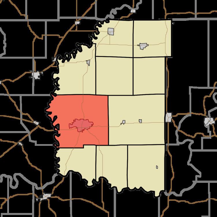
Washington Township is one of ten townships in Daviess County, Indiana. As of the 2010 census, its population was 15,534 and it contained 6,771 housing units.
Contents
- Map of Washington Township IN 47501 USA
- History
- Geography
- Cities and towns
- Unincorporated towns
- Adjacent townships
- Major highways
- Cemeteries
- References
Map of Washington Township, IN 47501, USA
History
Washington Township was organized on 12 May 1817 at the first meeting of the Daviess County Commissioners. Among its earliest settlements was the community of Liverpool, which later became subsumed into the county seat of Washington, which is located in Washington Township.
County Bridge No. 45, Jefferson Elementary School, and Prairie Creek Site are listed on the National Register of Historic Places.
Geography
According to the 2010 census, the township has a total area of 73.77 square miles (191.1 km2), of which 73.08 square miles (189.3 km2) (or 99.06%) is land and 0.69 square miles (1.8 km2) (or 0.94%) is water. Blue Hole Pond, Snyder Pond and Swan Pond are in this township.
Cities and towns
Unincorporated towns
Adjacent townships
Major highways
Cemeteries
The township contains five cemeteries: Colbert, Hawkins, New Veale Creek, Oak Grove and Saint Johns.