
Country United States GNIS feature ID 453871 Local time Sunday 11:26 PM | FIPS code 18-72890 Elevation 137 m Population 903 (2010) | |
 | ||
Weather 11°C, Wind E at 0 km/h, 83% Humidity Area 112.4 km² (110.7 km² Land / 163 ha Water) | ||
Steele Township is one of ten townships in Daviess County, Indiana. As of the 2010 census, its population was 903 and it contained 399 housing units.
Contents
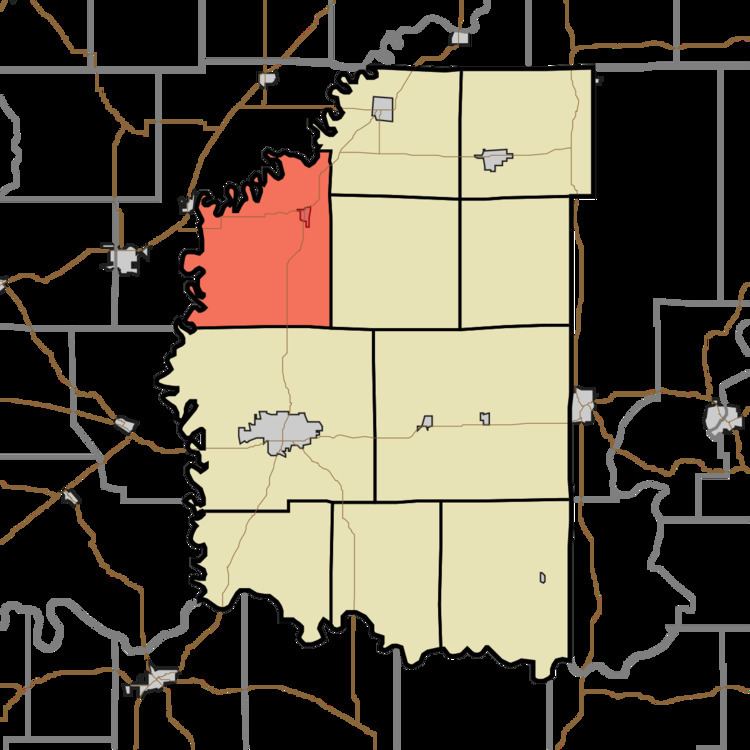
- Map of Steele Township IN USA
- History
- Geography
- Cities and towns
- Unincorporated towns
- Adjacent townships
- Major highways
- Cemeteries
- References
Map of Steele Township, IN, USA
History
Steele Township was organized in 1835 out of what had been northern Washington Township. It was settled later than most other Daviess County townships—the earliest settlers in the county were primarily hillfolk from Tennessee, Kentucky, and the Carolinas; they were unfamiliar with the bottomland prevalent in the township, and folklore of the day held that malaria was far more prevalent in lowlands. The first settlement was made around 1820; in the township's earliest years, it was isolated by poor transportation, but the construction of the Wabash and Erie Canal led to an economic boom for a short time, before the canal was abandoned.
Geography
According to the 2010 census, the township has a total area of 43.39 square miles (112.4 km2), of which 42.76 square miles (110.7 km2) (or 98.55%) is land and 0.63 square miles (1.6 km2) (or 1.45%) is water. Melton Pond is in this township.
Cities and towns
Unincorporated towns
Adjacent townships
Major highways
Cemeteries
The township contains one cemetery, Plainville.