
Country United States GNIS feature ID 453121 Local time Sunday 9:45 PM | FIPS code 18-06274 Elevation 148 m Population 1,473 (2010) | |
 | ||
Weather 12°C, Wind S at 19 km/h, 62% Humidity Area 95.18 km² (94.38 km² Land / 80 ha Water) | ||
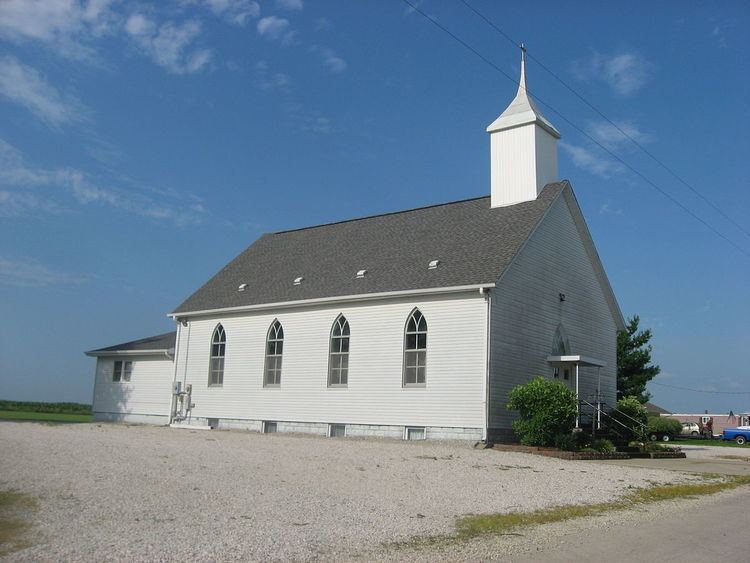
Bogard Township is one of ten townships in Daviess County, Indiana. As of the 2010 census, its population was 1,473 and it contained 395 housing units.
Contents
- Map of Bogard Township IN USA
- History
- Geography
- Unincorporated towns
- Adjacent townships
- Cemeteries
- References
Map of Bogard Township, IN, USA
History
Bogard Township was organized on 9 May 1820. Among its earliest settlers was North Carolina native Elias Myers, who arrived in 1816 and purchased 320 acres (130 ha) of land in the following year. Its namesake was a W. Bogard, who was a victim of an attack by Indians.
The McCall Family Farmstead was added to the National Register of Historic Places in 2013.
Geography
According to the 2010 census, the township has a total area of 36.75 square miles (95.2 km2), of which 36.44 square miles (94.4 km2) (or 99.16%) is land and 0.31 square miles (0.80 km2) (or 0.84%) is water.
Unincorporated towns
(This list is based on USGS data and may include former settlements.)
Adjacent townships
Cemeteries
The township contains five cemeteries: Concord, Cornettsville, Humphries, Tolberts Chapel and Wells.