
Country United States County Daviess GNIS feature ID 453382 Local time Friday 3:12 AM | State Indiana FIPS code 18-31702 Elevation 167 m Population 696 (2010) | |
 | ||
Weather 4°C, Wind SE at 13 km/h, 56% Humidity Area 83.32 km² (78.58 km² Land / 4.74 km² Water) | ||
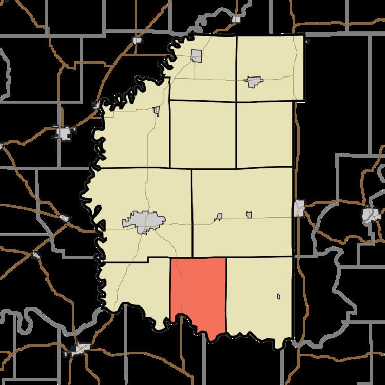
Harrison Township is one of ten townships in Daviess County, Indiana. As of the 2010 census, its population was 696 and it contained 308 housing units.
Contents
- Map of Harrison Township IN USA
- History
- Geography
- Unincorporated towns
- Adjacent townships
- Major highways
- Cemeteries
- References
Map of Harrison Township, IN, USA
History
Harrison Township was organized in June 1841 out of parts of Reave and Veale townships. Its first settlers were Lewis and William Jones, who came from South Carolina in 1812 and were soon joined by many other families from the Palmetto State.
The Glendale Ridge Archaeological Site was listed on the National Register of Historic Places in 1985.
Geography
According to the 2010 census, the township has a total area of 32.17 square miles (83.3 km2), of which 30.34 square miles (78.6 km2) (or 94.31%) is land and 1.83 square miles (4.7 km2) (or 5.69%) is water.
Unincorporated towns
(This list is based on USGS data and may include former settlements.)
Adjacent townships
Major highways
Cemeteries
The township contains three cemeteries: East Union, Ebenezer and Saint Patricks Glencoe.