
Country United States GNIS feature ID 453953 Local time Saturday 2:35 PM | FIPS code 18-78722 Elevation 130 m Population 1,095 (2010) | |
 | ||
Weather 9°C, Wind SE at 0 km/h, 65% Humidity Area 76.85 km² (75.39 km² Land / 148 ha Water) | ||
Veale Township is one of ten townships in Daviess County, Indiana. As of the 2010 census, its population was 1,095 and it contained 449 housing units.
Contents
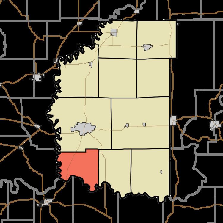
- Map of Veale Township IN USA
- History
- Geography
- Unincorporated towns
- Adjacent townships
- Major highways
- Cemeteries
- References
Map of Veale Township, IN, USA
History
Veale Township was organized on 12 May 1817 at the first meeting of the Daviess County Commissioners. and named for James Veale; one of the township's first residents, Veale had settled there in 1807 or 1808. In the county's early history, Veale Township was an industrial leader: within its boundaries were the first sawmill and the first distillery in Daviess County.
Geography
According to the 2010 census, the township has a total area of 29.67 square miles (76.8 km2), of which 29.11 square miles (75.4 km2) (or 98.11%) is land and 0.57 square miles (1.5 km2) (or 1.92%) is water. Horseshoe Pond and Jackson Pond are in this township.
Unincorporated towns
(This list is based on USGS data and may include former settlements.)
Adjacent townships
Major highways
Cemeteries
The township contains one cemetery, Bethel.