
County Daviess ZIP code 47501 Elevation 136 m | State Indiana FIPS code 18-47844 Local time Thursday 12:04 AM | |
 | ||
Weather -3°C, Wind NW at 6 km/h, 64% Humidity | ||
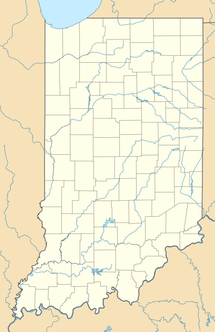
Maysville is an unincorporated community in Washington Township, Daviess County, Indiana.
Contents
Map of Maysville, IN 47501, USA
History
Maysville was laid out in 1834 on the Wabash and Erie Canal.
Geography
Maysville is located at 38°38′52″N 87°13′42″W.
References
Maysville, Indiana Wikipedia(Text) CC BY-SA