
Country United States County Clinton FIPS code 18-80486 Elevation 258 m Population 1,098 (2010) | State Indiana Organized 1830 GNIS feature ID 453989 Local time Saturday 11:28 PM | |
 | ||
Weather 12°C, Wind S at 13 km/h, 55% Humidity Area 74.54 km² (74.44 km² Land / 10 ha Water) | ||
Washington Township is one of fourteen townships in Clinton County, Indiana. As of the 2010 census, its population was 1,098 and it contained 465 housing units. The township was named for President George Washington.
Contents
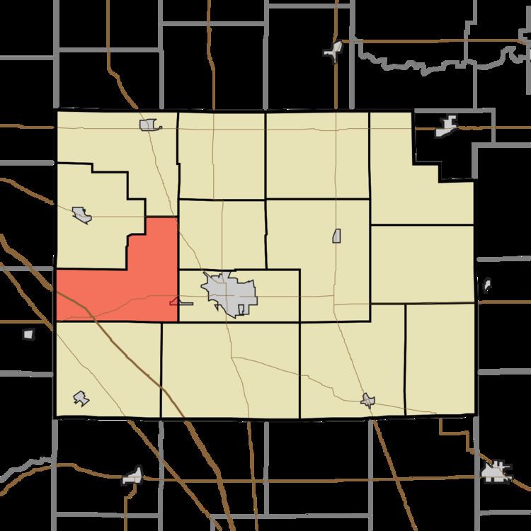
- Map of Washington Township IN USA
- History
- Geography
- Unincorporated towns
- Adjacent townships
- Major highways
- Cemeteries
- References
Map of Washington Township, IN, USA
History
Before Clinton County existed, all of its territory, along with a small piece of what's now northern Boone County, was from 1828 to 1830 part of Tippecanoe County and known as Washington Township. When Clinton County was founded, this name was retained for the township then most settled. As established on May 15, 1830, it included all of Perry Township (which was cut off in 1834) and the south half of Madison (made separate in 1835).
William Clark, the first white settler to come to this area, arrived in 1826 and built a cabin just north of what later would become Jefferson. David Kilgore and family arrived the next year and settled nearby.
Geography
According to the 2010 census, the township has a total area of 28.78 square miles (74.5 km2), of which 28.74 square miles (74.4 km2) (or 99.86%) is land and 0.04 square miles (0.10 km2) (or 0.14%) is water.
Unincorporated towns
Adjacent townships
Major highways
Cemeteries
The township contains three cemeteries: Abbot, Jefferson and Providence.