
Country United States FIPS code 18-45918 Elevation 237 m Local time Friday 12:16 PM | Organized 1839 GNIS feature ID 453589 Area 66.1 km² Population 2,079 (2010) | |
 | ||
Weather 4°C, Wind S at 13 km/h, 83% Humidity | ||
Madison Township is one of fourteen townships in Clinton County, Indiana. As of the 2010 census, its population was 2,079 and it contained 846 housing units. The township was named for President James Madison.
Contents
- Map of Madison Township IN USA
- History
- Geography
- Cities and towns
- Adjacent townships
- Major highways
- Cemeteries
- References
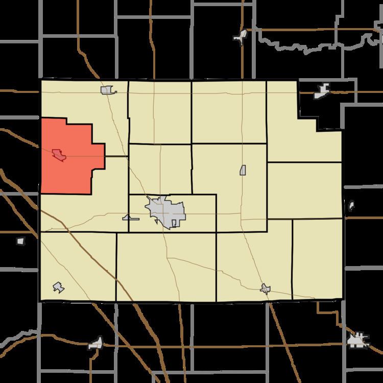
Map of Madison Township, IN, USA
History
The first white settlers in the land that would become Madison Township were Win Winship, Jacob Stettler, Charles Poulston and James Taylor, all of whom arrived in 1829. The first post office was at Winship's Mills with E. Winship as the first postmaster.
Geography
According to the 2010 census, the township has a total area of 25.52 square miles (66.1 km2), all land. Prior to being settled, the land was almost completely covered in dense forest, principally oak, walnut, poplar, sugar maple, beech, ash, hickory, elm, and various other hardwood species.
Cities and towns
Adjacent townships
Major highways
Cemeteries
The township contains two cemeteries, Bennet and Fair Haven.