
Country United States County Clinton FIPS code 18-77192 Elevation 255 m Local time Friday 1:58 PM | State Indiana Organized 1889 GNIS feature ID 453910 Area 51.57 km² Population 973 (2010) | |
 | ||
Weather 6°C, Wind NW at 19 km/h, 100% Humidity | ||
Union Township is one of fourteen townships in Clinton County, Indiana. As of the 2010 census, its population was 973 and it contained 395 housing units. The township's name refers to its creation from the northern part of Center Township and the southern part of Owen.
Contents
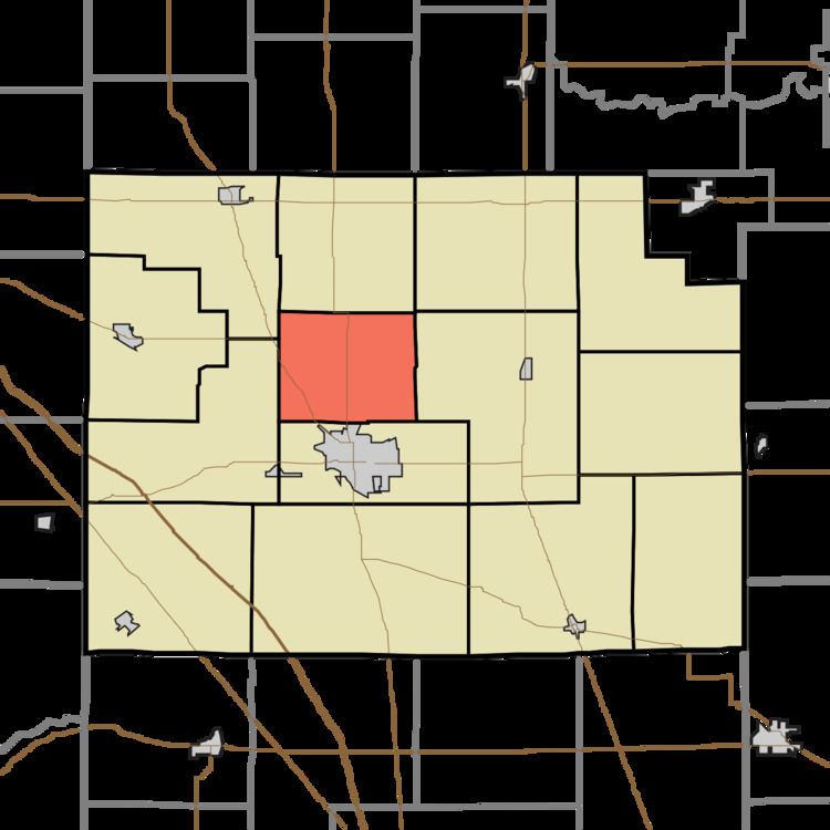
- Map of Union Township IN 46041 USA
- History
- Geography
- Unincorporated towns
- Adjacent townships
- Major highways
- Cemeteries
- References
Map of Union Township, IN 46041, USA
History
Organized in 1889, Union was the last of Clinton County's townships to be created. It was formed as the result of dissatisfaction among the residents of northern Center Township with "a tax donation made to secure the Clover Leaf shops at Frankfort."
Geography
According to the 2010 census, the township has a total area of 19.91 square miles (51.6 km2), of which 19.8 square miles (51 km2) (or 99.45%) is land and 0.11 square miles (0.28 km2) (or 0.55%) is water.
Unincorporated towns
Adjacent townships
Major highways
Cemeteries
Cemeteries:
References
Union Township, Clinton County, Indiana Wikipedia(Text) CC BY-SA