
Constructed 1 October 1926 | Length 194.8 km | |
 | ||
Existed: October 1, 1926 – present Counties | ||
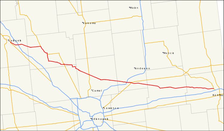
State Road 38 in the U.S. State of Indiana serves as a connection between Lafayette in the west and Richmond in the east.
Contents
Map of IN-38, Indiana, USA
Route description
State Road 38 begins in Lafayette with State Road 25 and U.S. Route 52. There is an interchange with Interstate 65 at exit 168. It proceeds east-southeast through Frankfort and Sheridan, then through the north Indianapolis suburb of Noblesville. It continues through Pendleton where it crosses Interstate 69, then on through New Castle and Hagerstown. State Road 38 terminates in Richmond where it meets U.S. Route 35.
References
Indiana State Road 38 Wikipedia(Text) CC BY-SA