
Country United States Elevation 211 m Local time Friday 10:39 PM | GNIS feature ID 453843 Area 94.09 km² Population 3,865 (2010) | |
 | ||
ZIP codes 46058, 47905, 47909, 47941 Weather 4°C, Wind NW at 16 km/h, 89% Humidity | ||
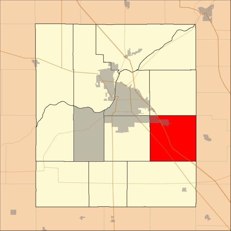
Sheffield Township is one of thirteen townships in Tippecanoe County, Indiana, United States. As of the 2010 census, its population was 3,865 and it contained 1,454 housing units.
Contents
- Map of Sheffield Township IN USA
- Geography
- Cities and towns
- Extinct towns
- Adjacent townships
- Cemeteries
- Major highways
- Airports and landing strips
- School districts
- Political districts
- References
Map of Sheffield Township, IN, USA
Geography
According to the 2010 census, the township has a total area of 36.33 square miles (94.1 km2), of which 36.32 square miles (94.1 km2) (or 99.97%) is land and 0.01 square miles (0.026 km2) (or 0.03%) is water.
Cities and towns
Extinct towns
Adjacent townships
Cemeteries
The township contains these five cemeteries: Baker, Holladay, Newcomer, Salem and Wyandot.
Major highways
Airports and landing strips
School districts
Political districts
References
Sheffield Township, Tippecanoe County, Indiana Wikipedia(Text) CC BY-SA