
Country United States Named for John Ross, settler Elevation 225 m Local time Wednesday 9:26 PM | Organized 1830 FIPS code 18-66078 Area 76.61 km² Population 2,898 (2010) | |
 | ||
Weather 1°C, Wind E at 13 km/h, 61% Humidity | ||
Ross Township is one of fourteen townships in Clinton County, Indiana. As of the 2010 census, its population was 2,898 and it contained 1,119 housing units. The township was named for John Ross, a pioneer settler and associate county judge.
Contents
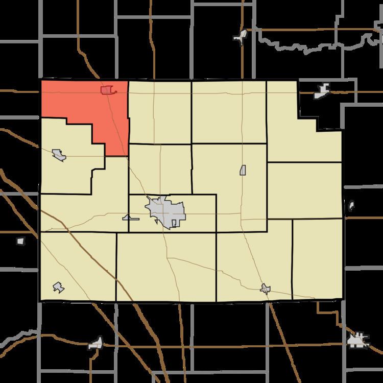
- Map of Ross Township IN USA
- History
- Geography
- Cities and towns
- Unincorporated towns
- Adjacent townships
- Major highways
- Cemeteries
- References
Map of Ross Township, IN, USA
History
Ross was one of Clinton County's original townships created on May 15, 1830. Solomon Miller, who arrived in March 1828, was its first settler. According to a 1913 county history, a considerable number of the township's early settlers were Pennsylvania Germans and Dunkards.
Geography
According to the 2010 census, the township has a total area of 29.58 square miles (76.6 km2), all land.
Cities and towns
Unincorporated towns
(This list is based on USGS data and may include former settlements.)
Adjacent townships
Major highways
Cemeteries
The township contains four cemeteries: Hiner, Kuhns, Latshaw and Pleasant View.