Country United States County Clinton FIPS code 18-11260 Elevation 262 m Local time Tuesday 10:26 AM | State Indiana Organized 1872 GNIS feature ID 453174 Area 53.41 km² Population 17,245 (2010) | |
 | ||
Weather 12°C, Wind SW at 31 km/h, 87% Humidity Points of interest TPA Park, Hoosierland Roller Rink, The Bankable Building | ||
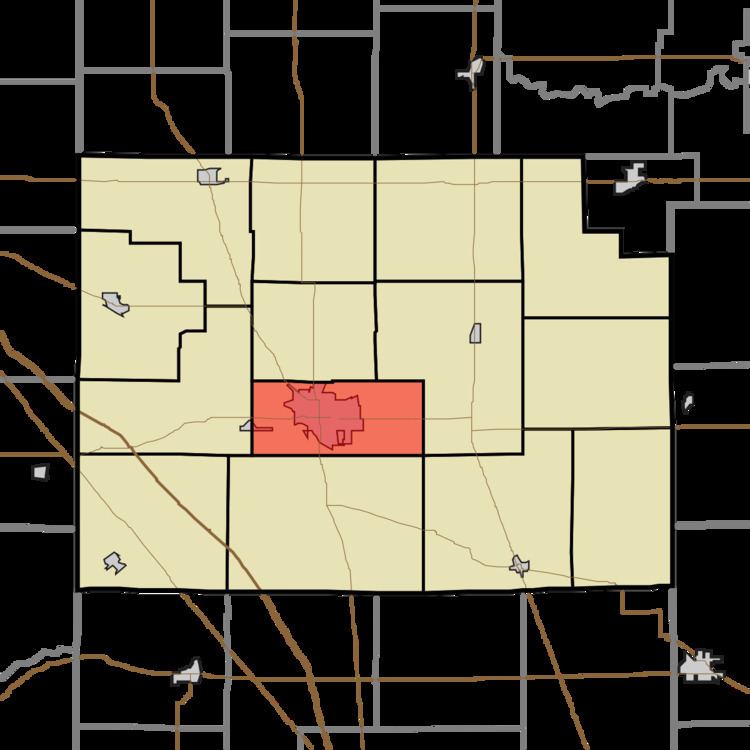
Center Township is one of fourteen townships in Clinton County, Indiana. As of the 2010 census, its population was 17,245 and it contained 6,878 housing units. It contains the city of Frankfort, the county seat.
Contents
- Map of Center Township IN 46041 USA
- History
- Geography
- Cities and towns
- Unincorporated towns
- Adjacent townships
- Major highways
- Cemeteries
- References
Map of Center Township, IN 46041, USA
History
Center Township was created in 1872 from the northern part of Jackson Township; the northern part of Center was later split off to create Union Township in 1889. The first white settler in the township was George Michaels in 1827, followed the next year by John Douglass, Matthew Bunnell and Noah Bunnell. More arrived in 1829, including the three Pence brothers who donated the land upon which the city of Frankfort was built.
As the geographic and business center of the county, numerous railroad where laid through the township and included the Monon, the Vandalia, the Toledo, St. Louis and Western, the Terre Haute, Indianapolis and Eastern, and the Kokomo.
Geography
According to the 2010 census, the township has a total area of 20.62 square miles (53.4 km2), all land.
Cities and towns
Unincorporated towns
(This list is based on USGS data and may include former settlements.)
Adjacent townships
Major highways
Cemeteries
The township contains two cemeteries: Greenlawn Memorial Park and Old South.
