
GNIS feature ID 453897 Elevation 217 m Population 1,104 (2010) | ZIP codes 46511, 46960, 46996 Area 94.66 km² Local time Saturday 12:35 PM | |
 | ||
Weather 9°C, Wind N at 10 km/h, 49% Humidity | ||
Tippecanoe Township is one of twelve townships in Pulaski County, Indiana, United States. As of the 2010 census, its population was 1,104 and it contained 580 housing units.
Contents
- Map of Tippecanoe Township IN USA
- Geography
- Cities towns villages
- Unincorporated towns
- Adjacent townships
- Lakes
- Landmarks
- School districts
- Political districts
- References
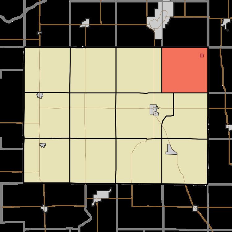
Map of Tippecanoe Township, IN, USA
Tippecanoe Township was organized in 1839, and named after the Tippecanoe River.
Geography
According to the 2010 census, the township has a total area of 36.55 square miles (94.7 km2), of which 36.42 square miles (94.3 km2) (or 99.64%) is land and 0.14 square miles (0.36 km2) (or 0.38%) is water.
Cities, towns, villages
Unincorporated towns
(This list is based on USGS data and may include former settlements.)
Adjacent townships
Lakes
Landmarks
School districts
Political districts
References
Tippecanoe Township, Pulaski County, Indiana Wikipedia(Text) CC BY-SA