
Country United States Elevation 223 m Population 1,394 (2010) | GNIS feature ID 453679 Area 93.8 km² Local time Friday 7:28 AM | |
 | ||
ZIP codes 46511, 46534, 46960, 46968 Weather 6°C, Wind N at 13 km/h, 89% Humidity | ||
North Bend Township is one of nine townships in Starke County, in the U.S. state of Indiana. As of the 2010 census, its population was 1,394 and it contained 862 housing units.
Contents
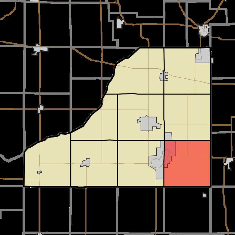
- Map of North Bend Township IN USA
- Geography
- Cities towns villages
- Unincorporated towns
- Adjacent townships
- Cemeteries
- Airports and landing strips
- Lakes
- Major highways
- School districts
- Political districts
- References
Map of North Bend Township, IN, USA
Geography
According to the 2010 census, the township has a total area of 36.2 square miles (94 km2), of which 35.46 square miles (91.8 km2) (or 97.96%) is land and 0.74 square miles (1.9 km2) (or 2.04%) is water.
Cities, towns, villages
Unincorporated towns
(This list is based on USGS data and may include former settlements.)
Adjacent townships
Cemeteries
The township contains these three cemeteries: North Bend, North Union and Ora.
Airports and landing strips
Lakes
Major highways
School districts
Political districts
References
North Bend Township, Starke County, Indiana Wikipedia(Text) CC BY-SA