
GNIS feature ID 0453311 Area 94.22 km² Population 715 (2010) | ZIP codes 46960, 46996 Elevation 219 m Local time Thursday 7:43 AM | |
 | ||
Weather -8°C, Wind W at 10 km/h, 62% Humidity | ||
Franklin Township is one of twelve townships in Pulaski County, Indiana, United States. As of the 2010 census, its population was 715 and it contained 284 housing units.
Contents
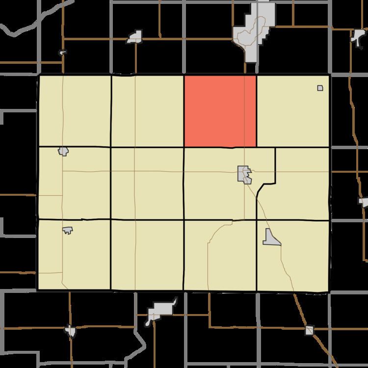
- Map of Franklin Township IN USA
- History
- Geography
- Unincorporated towns
- Adjacent townships
- Cemeteries
- Major highways
- Airports and landing strips
- Landmarks
- School districts
- Political districts
- References
Map of Franklin Township, IN, USA
History
Franklin Township was organized in 1855, and named after Franklin Township, Ripley County, Indiana, the native home of an early settler.
Tepicon Hall at Tippecanoe River State Park was listed on the National Register of Historic Places in 1992.
Geography
According to the 2010 census, the township has a total area of 36.38 square miles (94.2 km2), all land.
Unincorporated towns
(This list is based on USGS data and may include former settlements.)
Adjacent townships
Cemeteries
The township contains Mt. Zion Cemetery.
Major highways
Airports and landing strips
Landmarks
Haschel Hill
Potowatami Indian Dam (located just up from the state park landing in the Tippecanoe River).
Winamac Fish & Wildlife Area (containing the old Patti Hills)
PCRM Headquarters
Firetower (located in the state park)
Hilljack-Clemons Hill (just west of Ripley)
Oxbow Lagoon (swampy lake created by a change in the Tippecanoe River many years ago -located in the state park).
Dead Bayou (located approximately 1/4 mile north of the state park boat landing merging with the river on the east side).