
Country United States GNIS feature ID 453053 Local time Wednesday 3:53 AM | FIPS code 18-02656 Elevation 226 m Population 1,448 (2010) | |
 | ||
Weather 10°C, Wind SW at 16 km/h, 85% Humidity Area 89.85 km² (89.33 km² Land / 52 ha Water) | ||
Aubbeenaubbee Township is one of eight townships in Fulton County, Indiana. As of the 2010 census, its population was 1,448 and it contained 728 housing units.
Contents
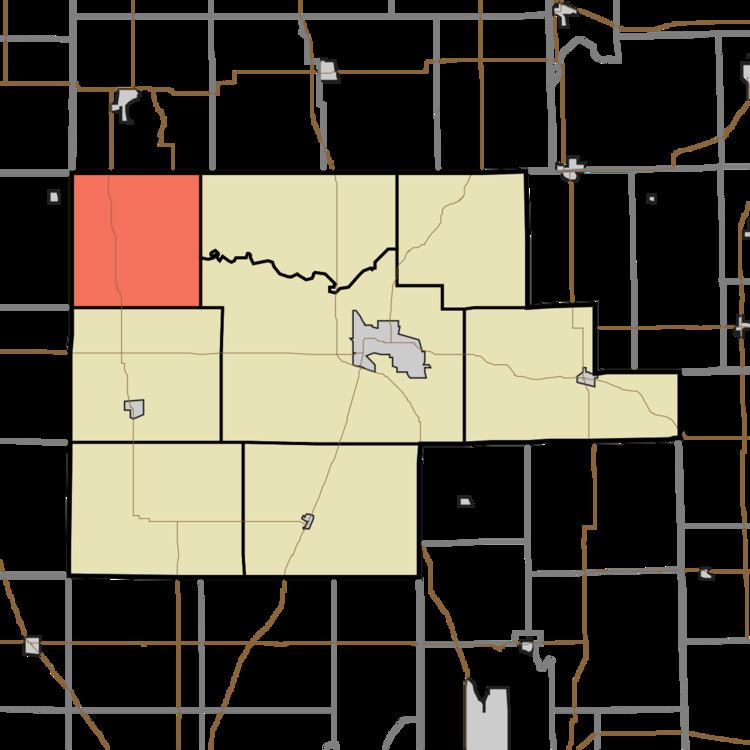
- Map of Aubbeenaubbee Township IN USA
- Geography
- Unincorporated towns
- Adjacent townships
- Major highways
- Cemeteries
- References
Map of Aubbeenaubbee Township, IN, USA
Geography
According to the 2010 census, the township has a total area of 34.69 square miles (89.8 km2), of which 34.49 square miles (89.3 km2) (or 99.42%) is land and 0.2 square miles (0.52 km2) (or 0.58%) is water. King Lake is in this township.
Unincorporated towns
(This list is based on USGS data and may include former settlements.)
Adjacent townships
Major highways
Cemeteries
The township contains two cemeteries: Independent Order of Odd Fellows and Moon.
References
Aubbeenaubbee Township, Fulton County, Indiana Wikipedia(Text) CC BY-SA