
Elevation 217 m Local time Friday 3:19 AM | GNIS feature ID 0453395 Area 81.8 km² Population 628 (2010) | |
 | ||
ZIP codes 46939, 46960, 46985, 46996 Weather 0°C, Wind SE at 11 km/h, 52% Humidity | ||
Harrison Township is one of twelve townships in Pulaski County, Indiana, United States. As of the 2010 census, its population was 628 and it contained 288 housing units.
Contents
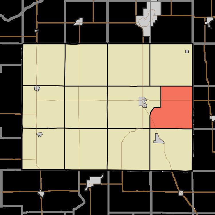
- Map of Harrison Township IN USA
- History
- Geography
- Adjacent townships
- Major highways
- Lakes
- School districts
- Political districts
- References
Map of Harrison Township, IN, USA
History
Harrison Township was organized in 1841, and named for William Henry Harrison (1773–1841), the ninth President of the United States (1841).
Geography
According to the 2010 census, the township has a total area of 31.6 square miles (82 km2), of which 31.51 square miles (81.6 km2) (or 99.72%) is land and 0.09 square miles (0.23 km2) (or 0.28%) is water.
Adjacent townships
Major highways
Lakes
School districts
Political districts
References
Harrison Township, Pulaski County, Indiana Wikipedia(Text) CC BY-SA