
GNIS feature ID 0453645 Area 107 km² Population 4,019 (2010) | ZIP codes 46985, 46996 Elevation 216 m Local time Thursday 1:32 PM | |
 | ||
Weather 1°C, Wind W at 13 km/h, 32% Humidity | ||
Monroe Township is one of twelve townships in Pulaski County, Indiana, United States. As of the 2010 census, its population was 4,019 and it contained 1,848 housing units.
Contents
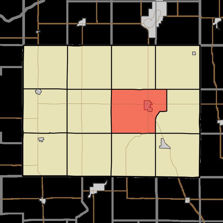
- Map of Monroe Township IN USA
- History
- Geography
- Cities towns villages
- Adjacent townships
- Cemeteries
- Major highways
- Rivers
- School districts
- Political districts
- References
Map of Monroe Township, IN, USA
History
The Pulaski County Home was listed on the National Register of Historic Places in 2015.
Geography
According to the 2010 census, the township has a total area of 41.3 square miles (107 km2), of which 40.95 square miles (106.1 km2) (or 99.15%) is land and 0.35 square miles (0.91 km2) (or 0.85%) is water.
Cities, towns, villages
Adjacent townships
Cemeteries
The township contains these four cemeteries: Crown Hill, Memorial Gardens, Reed and Saint Peters.
Major highways
Rivers
School districts
Political districts
References
Monroe Township, Pulaski County, Indiana Wikipedia(Text) CC BY-SA