
Existed: 1956 – present Constructed 1956 | Length 184.1 km | |
 | ||
East end: Highway 11 in Englehart Major cities Englehart, James, Ontario, Charlton and Dack | ||
Secondary Highway 560, commonly referred to as Highway 560, is a provincially maintained secondary highway in the northern section of the Canadian province of Ontario. It begins in the west at an intersection with Highway 144 and the Sultan Industrial Road and proceeds 184.1 kilometres (114.4 mi) east to Highway 11 at Englehart.
Contents
Map of ON-560, Ontario, Canada
Highway 560 was established, along with many of the secondary highways in Ontario, in 1956. It was extended westward 31.5 kilometres (19.6 mi) to Ontario Highway 144 in 1965. Aside from minor realignments along its isolated route, the route has remained unchanged since then.
Route description
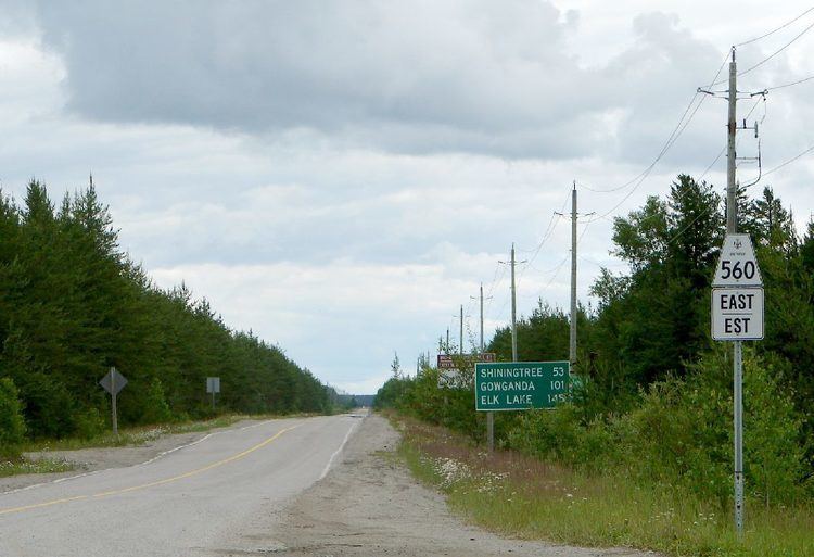
Highway 560 is a remote route through some of the most isolated parts of Northeastern Ontario, spanning 184.1 kilometres (114.4 mi) between Highway 144, where the road continues west as the Sultan Industrial Road, and Highway 11 at Englehart. There are few gas stations and services located along the route, which is heavily travelled by logging trucks; warning signs are posted along the route as a reminder of this hazard.
The first 31 kilometres (19 mi) of the route is relatively straight, though like the rest of the highway, there are few signs of habitation along its journey through thick forests in the Canadian Shield; the hamlet of Ostrom is an exception to this. At Morin Village, the spur route Highway 560A branches southwest to the village of Westree. Highway 560 meanders around several lakes dotting the remainder of its journey to Englehart, serving the communities of Silver Tree and Gowganda along its twisting route. It also provides access to the West Montreal River Provincial Park at two locations west of Gowganda.
Within this vast uninhabited region, Highway 560 is the closest public road to the highest point in Ontario, Ishpatina Ridge. At Elk Lake, the route provides access to Makobe - Grays River Provincial Park and then meets Highway 65, with which it shares a 1.0-kilometre (0.62 mi) concurrency. It continues another 23 kilometres (14 mi) through dense forests before suddenly emerging into the Ottawa-Bonnechere Graben. The remaining 16.6 kilometres (10.3 mi) of Highway 560 travels through agricultural lands, as well as the community of Charlton (where it intersects Highway 573), before ending at Highway 11 on the western edge of Englehart.
Like other provincial routes in Ontario, Highway 560 is maintained by the Ministry of Transportation of Ontario. In 2010, traffic surveys conducted by the ministry showed that on average, 1,100 vehicles used the highway daily along the 9.2-kilometre (5.7 mi) section between Highway 11 and Highway 573 (Bay Street) while 210 vehicles did so each day along the 30.6-kilometre (19.0 mi) section between the latter and Highway 65, the highest and lowest counts along the highway, respectively.
Highway 560A
Highway 560A is a secondary highway which serves as a short spur route from Highway 560 southwest to the railway crossing in the community of Westree. Its total length is 9.5 kilometres (5.9 mi). Based on the metrics provided in the section above, an average of 170 vehicles traverse the highway each day.
History
Highway 560 was first designated in early 1956, like many of the secondary highways in Ontario. Highway 560 initially provided the only access into the interior of the Temagami region and Gogama. However, in the mid-1960s, work began on a new link between Sudbury and Timmins. 31.5 kilometres (19.6 mi) was absorbed into the route of Ontario Highway 144 in April 1965. Since then, the western terminus of Highway 560 has been at Highway 144. Although numerous minor realignments have been made to the route over the years, the general alignment of the highway has remained unchanged.
Major intersections
The following table lists the major junctions along Highway 560.