
Created 1888 Postal code span P0P Area 4,796 km² Area code 705 | Time zone Eastern (EST) (UTC-5) | |
 | ||
Points of interest Bridal Veil Falls, La Cloche Mountains, Georgian Bay, Lake Huron, Great Spirit Circle Trail Destinations | ||
Manitoulin District is a district in Northeastern Ontario within the Canadian province of Ontario. It was created in 1888 from part of Algoma District. The district seat is Gore Bay.
Contents
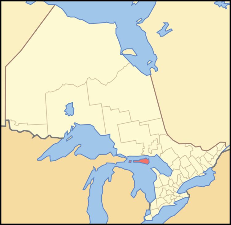
- Map of Manitoulin District ON Canada
- Geography
- Subdivisions
- Services
- Organizations
- Provincial highways
- References
Map of Manitoulin District, ON, Canada
It comprises Manitoulin Island primarily, as well as a number of smaller islands surrounding it, such as Barrie, Cockburn, and Great La Cloche islands. Previously it included the municipality of Killarney on the mainland, until this was transferred to Sudbury District in the late 1990s. Subsequently, more mainland portions were added to Killarney and these, together with Unorganized Mainland Manitoulin District, were also transferred to Sudbury District in 2006, about 1,600 square kilometres (600 sq mi) in all.
Geography
The district has an area of 3,107.11 square kilometres (1,199.66 sq mi), making it the smallest district in Ontario. It is located in the northern part of Lake Huron, separated from the mainland by the North Channel to the north and by the Georgian Bay to the east.
Islands included within the district are:
Subdivisions
Towns:
Townships:
Unorganized areas:
Native reserves:
Services
Like the other districts of Northern Ontario, the Manitoulin District does not have a county or regional municipality tier of government. All services in the district are provided either by the individual municipalities or directly by the provincial government. Services are provided jointly with the Sudbury District from its district seat in Espanola.
Organizations
Provincial highways
Manitoulin District is served by only one primary provincial highway, Highway 6. This highway enters the district at the ferry docks in South Baymouth, in the township of Tehkummah, where the Chi-Cheemaun ferry travels to and from Tobermory in the municipality of Northern Bruce Peninsula. It exits the district in the Whitefish River First Nation, just south of Whitefish Falls, when it crosses into the Sudbury District.
A number of secondary provincial highways, the equivalent in a district to a county or municipal road in Southern Ontario, serve the communities of Manitoulin Island. These are: