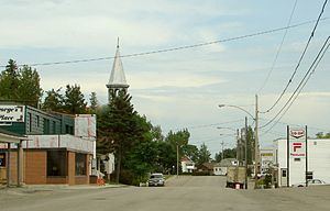
Created 1858 Postal code FSA P0A, P0B, P1A-P1C, P2B Population 84,736 (2011) | Time zone Eastern (EST) (UTC-5) Area code(s) 705 Local time Monday 10:25 PM | |
 | ||
Weather 1°C, Wind N at 8 km/h, 97% Humidity Colleges and Universities Nipissing University, Canadore College | ||
Nipissing District is a district in Northeastern Ontario in the Canadian province of Ontario. It was created in 1858. The district seat is North Bay.
Contents
- Map of Nipissing District ON Canada
- City
- Towns
- Townships
- Unorganized areas
- First Nation reserves
- References
Map of Nipissing District, ON, Canada
In 2011, the population was 84,736. The land area is 17,103.52 square kilometres (6,603.71 sq mi); the population density was 5.0 per square kilometre (13/sq mi), making it one of the most densely populated districts in Northern Ontario.
City
Towns
In addition, the eastern part of the town of Kearney is within Nipissing District, but the entire town is enumerated with the Parry Sound District.
Townships
Unorganized areas
Local services boards in these unorganized areas include:
First Nation reserves
References
Nipissing District Wikipedia(Text) CC BY-SA
