
Province Alberta | Length: 16.0 km (9.9 mi) | |
 | ||
Major cities Edmonton, Spruce Grove, Jasper Place, Alberta | ||
Stony plain road area business association
Stony Plain Road is a major arterial road in west Edmonton, Alberta, Canada. Parkland Highway is an alternative route to the corresponding section of Alberta Highway 16 in Parkland County.
Contents
- Stony plain road area business association
- Map of Stony Plain Rd Edmonton AB Canada
- Stony Plain Road
- 103A 104 Avenue
- 102 Avenue
- Neighbourhoods
- Interchanges and intersections
- References
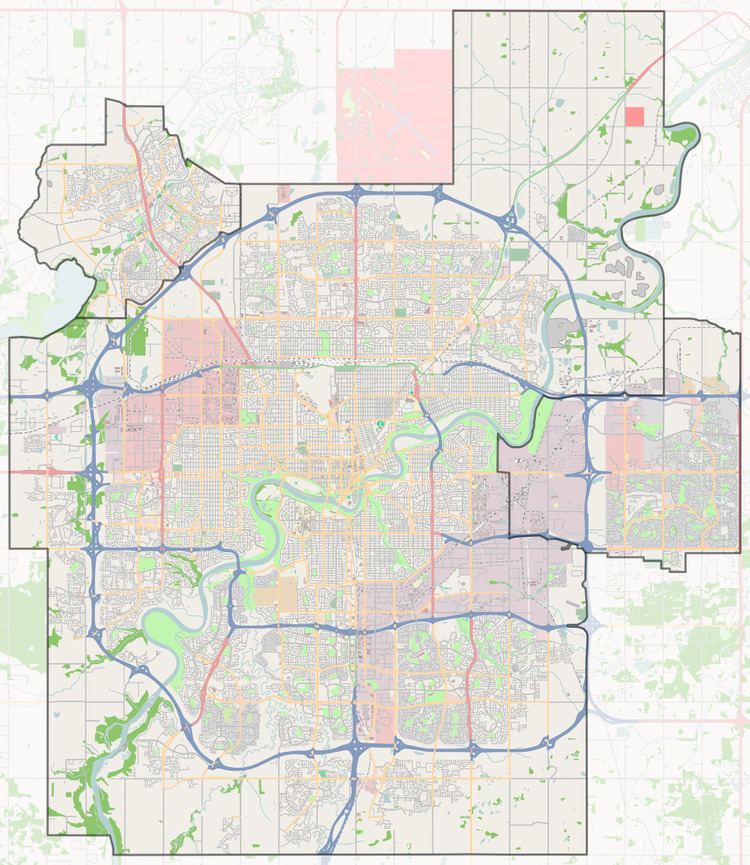
Map of Stony Plain Rd, Edmonton, AB, Canada
Stony Plain Road
Stony Plain Road enters Edmonton city limits at 231 Street. Soon after entering the city limits, the westbound and eastbound traffic lanes separate into two separate one-way streets. Stony Plain Road at this time refers only to the westbound street (101 Avenue), while eastbound traffic becomes 100 Avenue. Both sections cross Edmonton's ring road, Anthony Henday Drive. After Anthony Henday Northbound, there are a few eastbound lanes, to better serve Place LaRue, a commercial area with big-box stores, hotels, restaurants, and other commercial activity catering to travellers and commuters. This is especially true near the intersection with 170 Street; however, Stony Plain Road is primarily a westbound road, and the eastbound lanes end at 175 Street. After 170 Street the road again carries both directions of traffic, but 100 Avenue remains a one-way street until 163 Street. East of 170 Street the road passes by the Mayfield Common strip mall, and through some mixed residential-commercial areas (Glenwood) and a low-income neighbourhood (Britannia Youngstown). At 142 Street, Stony Plain Road becomes 102 Avenue, and continues through downtown.
103A / 104 Avenue
Stony Plain Road begins again as an outshoot of 102 Avenue into the quiet, upscale residential neighbourhoods of Glenora and, after passing over Groat Road, Westmount. After crossing 121 Street, the road's name changes to 104 Avenue. 104 Avenue passes in front of the old Molson's brewery.
Prior to 1989, 104 Avenue formed the south boundary of the Old Canadian National rail yard. After the railway yard's closure, 104 Avenue became a major site of redevelopment. Here the road passes a block south of the boundary between Oliver and Downtown and the neighbourhoods of Queen Mary Park and Central McDougall, the so-called "North Edge" of downtown. In the area to either side of 116 Street, 104 Avenue is lined to north by the Oliver Square West and East strip malls and condo developments, and to the south by the Longstreet Mall and several other smaller strip malls. From 112 Street to 104 Street, 104 Avenue runs along the south side of MacEwan University City Centre Campus. Continuing east, 104 Avenue passes the 104 Street Promenade in Edmonton's warehouse district, the Bacarat Casino, and the Greyhound Bus terminal.
At 101 Street, the road again changes names to 103A Avenue, it then passes on the south side of the CN Tower, the north side of Edmonton City Hall, the south side of Edmonton Police Headquarters, and the north side of Chinatown. Eventually it merges into Jasper Avenue.
102 Avenue
102 Avenue is a short arterial road west of downtown Edmonton. The 102 Avenue is first occupied by Stony Plain Road at 149 Street. It then changes name to 102 Avenue at 142 Street. Before flying over Groat Road it passes by the Royal Alberta Museum and Government House (Alberta). Then it sees the start of Jasper Avenue at 125 Street. At 124 Street it goes from being an arterial to a collector road, as it enters the neighbourhood of Oliver. 102 Avenue comes to an end at 111 Street. 102 Avenue begins again after 110 Street as a local road, and continues through Downtown Edmonton.
Neighbourhoods
List of neighbourhoods Stony Plain Road runs through, in order from west to east:
Interchanges and intersections
This is a list of major intersections, starting at the west end of Highway 16A.