
Quadrant NW Sector West | Ward 1 Elevation 683 m | |
 | ||
Restaurants Homefire Grill, West Edmonton Motor Inn, Pho Rice Pot, Western Charm Restaurant, Enzo's Donair Hotels Hyatt Place Edmonto, Sandman Hotel Edmonto, Executive Royal Hotel We, Courtyard by Marriott Edmonto, Wingate Inn Edmonto, West Edmonton Motor Inn | ||
Place LaRue is a largely commercial neighbourhood located in west Edmonton, Alberta, Canada. According to the 2001 federal census, there were only 75 private dwellings located in the neighbourhood. By 2005, this had declined to 51.
Map of Place Larue, Edmonton, AB, Canada
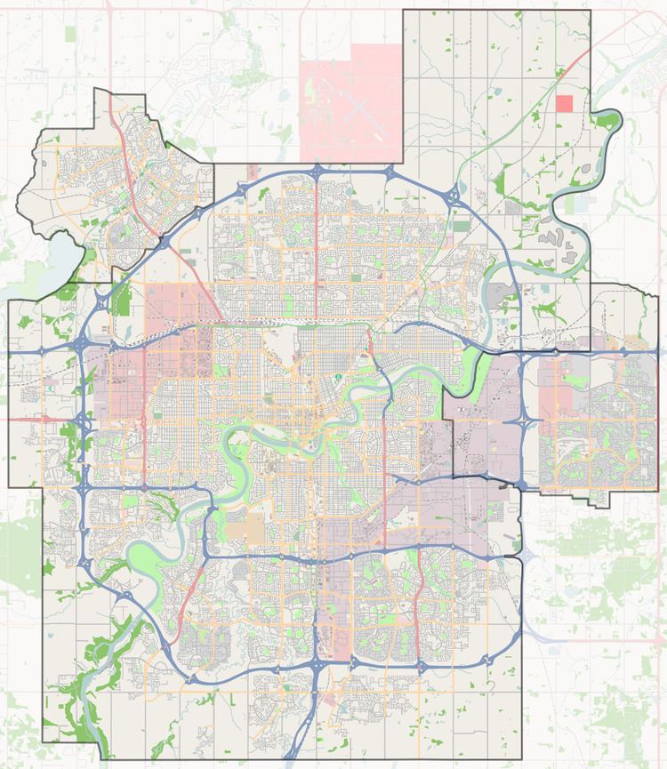
The neighbourhood is bounded by 170 Street on the east, Anthony Henday Drive to the west, Stony Plain Road to the north, and 100 Avenue (west of 176 Street) and 99A Avenue (east of 176 Street) to the south.
Just over half (53.3%) of the residences were constructed during the 1970s. One in eight (13.3%) were constructed slightly earlier during the 1960s and another one in eight (13.3%) in the early 1980s. The remaining residences were all constructed during the 1990s.
The most common type of home in the neighbourhood is the mobile home. These account for three out of every four (75%) of all residences. With the exception of three single-family dwellings, the remaining residences in the neighbourhood are classified as 'other' types of residence. Three out of four residences (75%) are owner-occupied while the remaining one in four (25%) are rented.