
Length 5.9 km | Location Edmonton | |
 | ||
Majorjunctions Saskatchewan Drive, Emily Murphy Park Road, Victoria Park Road, 107 Avenue, 111 Avenue, 118 Avenue North end 118 Avenue / St. Albert Trail | ||
Groat Road is a freeway in Edmonton, Alberta, Canada.
Contents
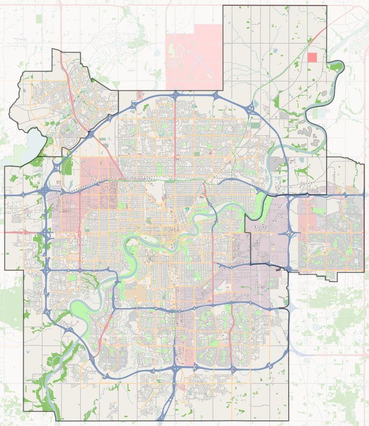
Map of Groat Rd NW, Edmonton, AB, Canada
At a roundabout west of the University of Alberta, Edmonton's river valley road Saskatchewan Drive branches Groat Road to the north and heads down into the river valley. Here Groat Road crosses the North Saskatchewan River on Groat Bridge. It then winds through a gorge, formerly occupied by the now culverted Groat Creek, before reaching the flat plains at the top of the valley. The route ends, and becomes St. Albert Trail, at 118 Avenue (at a traffic circle with traffic lights).
Because of their short lengths, Wayne Gretzky Drive and Groat Road will be the only freeways in Edmonton not to have a highway designation, until the completion of Terwillegar Drive.
Neighbourhoods
List of neighbourhoods Groat Road runs through, in order from south to north.
Interchanges and intersections
Groat Road currently has six interchanges (bold), giving it freeway status for the 4.1 kilometres (2.5 mi) from 87 Avenue to 109 Avenue.