
Quadrant NW Sector West Area 70 ha | Ward 1 Elevation 691 m | |
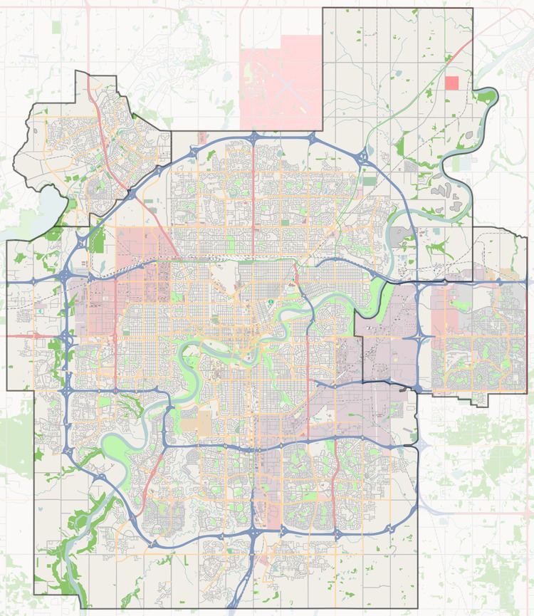 | ||
Stewart Greens is a new neighbourhood in west Edmonton, Alberta, Canada. It is bounded on the east by Anthony Henday Drive and on the north by Stony Plain Road.
Map of Stewart Greens, Edmonton, AB, Canada
Stony Plain Road provides access to locations west of the city. The Anthony Henday provides access to destinations to the south of the city including the Edmonton International Airport. Access to the downtown core and MacEwan University is provided by 100 Avenue which passes through the neighbourhood.
References
Stewart Greens, Edmonton Wikipedia(Text) CC BY-SA