
Quadrant NW Sector West Elevation 677 m | Ward 1 Area 76 ha Population 2,188 (2012) | |
 | ||
Restaurants The Keg Steakhou + Bar ‑ W, New Dragon Palace S, Donair Station, Cora, Joey's Seafood Restaura | ||
Terra Losa is a mixed residential and commercial neighbourhood located in west Edmonton, Alberta, Canada.
Contents
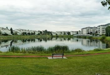
Map of Terra Losa, Edmonton, AB, Canada
It is bounded on the east by 170 Street, on the south by 95 Avenue, on the west by 178 Street, and on the north by 100 Avenue (west of 176 Street) and 99A Avenue (east of 176 Street).
Demographics
In the City of Edmonton's 2012 municipal census, Terra Losa had a population of 7003218800000000000♠2,188 living in 7003145800000000000♠1,458 dwellings, a 1.9% change from its 2009 population of 7003214700000000000♠2,147. With a land area of 0.76 km2 (0.29 sq mi), it had a population density of 7003287890000000000♠2,878.9 people/km2 in 2012.
Residential development
Terra Losa is a newer neighbourhood with most residences being built between 1991 and 2001.
Almost three out of four residences (72%) are apartment style dwellings. Approximately two out of three apartment dwellings are owner-occupied condominiums in low-rise buildings with fewer than five stories. The remaining apartments are rented, with some rental units in low-rise buildings and some in taller buildings with five or more stories. The remaining residences are row houses (19%) and duplexes Single-family dwellings are noticeably absent.
When all residences in the neibhborhood are considered, 93.5% of all resiences in the neighbourhood are owner-occupied.
Household income
Average household incomes in Terra Losa are comparable to, if slightly below, those in Edmonton.