
Quadrant NW Sector West Elevation 706 m | Ward 1 Area 2.64 km² Population 914 (2012) | |
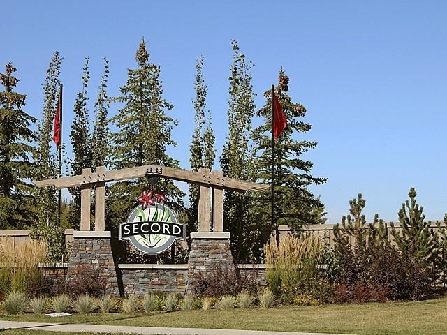 | ||
Secord is a neighbourhood in west Edmonton, Alberta, Canada that was established in 2007 through the adoption of the Secord Neighbourhood Structure Plan (NSP). Secord is located within Lewis Farms and was originally considered Neighbourhood 6 within the Lewis Farms Area Structure Plan (ASP).
Contents
Map of Secord, Edmonton, AB, Canada
It is bounded on the west by 231 Street (Hillview Road), north by Stony Plain Road (Highway 16A), east by Winterburn Road (215 Street), and south by the future extension of Webber Greens Drive (87 Avenue).
Demographics
In the City of Edmonton's 2012 municipal census, Secord had a population of 7002914000000000000♠914 living in 7002365000000000000♠365 dwellings, a 217.4% change from its 2009 population of 7002288000000000000♠288. With a land area of 2.64 km2 (1.02 sq mi), it had a population density of 7002346200000000000♠346.2 people/km2 in 2012.