
Area 2,168 km² | Congressional district 10th Website www.stclaircounty.org Population 160,469 (2013) | |
 | ||
Founded March 28, 1820 (created)1821 (organized) Colleges and Universities Points of interest Fort Gratiot Light, United States lightship, Thomas Edison Depot Mu, Harsens Island, Port Huron Museum Destinations Port Huron, Lake St Clair, Algonac, Harsens Island, Fort Gratiot Township | ||
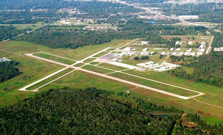
Economic development st clair county michigan
St. Clair County is a county located in the U.S. state of Michigan bordering the St. Clair River. As of the 2010 census, the population was 163,040. It is the 13th-most populous county in the state, and the county seat is Port Huron, located at the north end of the St. Clair River at Lake Huron. The county was created September 10, 1820, and its government was organized in 1821.
Contents
- Economic development st clair county michigan
- Map of St Clair County MI USA
- Etymology
- Geography
- Adjacent counties
- Major highways
- Demographics
- Government
- Elected officials
- Parks
- Cities
- Villages
- Census designated place
- References
Map of St Clair County, MI, USA
St. Clair County is part of the Detroit-Warren-Dearborn, MI Metropolitan Statistical Area. Geographically, it lies in the Thumb area of eastern Michigan.
Etymology
An expedition led by the French explorer René Robert Cavelier, Sieur de La Salle named the namesake lake as Lac Sainte-Claire, because they entered the lake on August 12, 1679, the feast day of Sainte Clare of Assisi. The lake is named on English maps as early as 1710 as Saint Clare. By the Mitchell Map of 1755, the spelling was given as St. Clair, which is the current version. Located along the western shores of Lake Saint Clair and the St. Clair River, the county was named for them.
The name is sometimes attributed to honoring the American Revolutionary War General and Governor of the Northwest Territory Arthur St. Clair, but it was established with the current spelling long before St. Clair was a notable figure. The earlier spelling of the lake's name may have been conflated with that of the general, as several political jurisdictions near the lake and the river, such as St. Clair County, St. Clair Township, and the cities of St. Clair and St. Clair Shores, share this spelling. See also, List of Michigan county name etymologies.
The name has sometimes been attributed to honoring Patrick Sinclair, a British officer who purchased land on the St. Clair River at the outlet of the Pine River. In 1764, he built Fort Sinclair there, which was in use for nearly 20 years before being abandoned.
Geography
According to the U.S. Census Bureau, the county has a total area of 837 square miles (2,170 km2), of which 721 square miles (1,870 km2) is land and 115 square miles (300 km2) (14%) is water. St. Clair County is one of five counties that form the peninsula, known as the Thumb, that projects into Lake Huron. St. Clair County is closely connected in terms of economy with its neighbors, Metropolitan Detroit and Sanilac County in Michigan, and Lambton County in Ontario, Canada. Saint Clair County is the principal county in the The Blue Water Area, a subregion of the Thumb.
Adjacent counties
Major highways
Demographics
The 2010 United States Census indicates St. Clair County had a 2010 population of 163,040. This is a decrease of -1,195 people from the 2000 United States Census. Overall, the county had a -0.7% growth rate during this ten-year period. In 2010 there were 63,841 households and 44,238 families in the county. The population density was 226.1 per square mile (87.3 square kilometers). There were 71,822 housing units at an average density of 99.6 per square mile (38.5 square kilometers). 93.9% were White, 2.4% Black or African American, 0.5% Asian, 0.4% Native American, 0.7% of some other race and 2.0% of two or more races. 2.9% were Hispanic or Latino (of any race). 25.9% were of German, 10.2% Polish, 9.3% Irish, 8.5% English, 6.5% French, 6.5% American and 5.1% Italian ancestry.
There were 63,841 households out of which 31.3% had children under the age of 18 living with them, 52.9% were husband and wife families, 11.4% had a female householder with no husband present, 30.7% were non-families, and 25.5% were made up of individuals. The average household size was 2.52 and the average family size was 3.01.
In the county, the population was spread out with 23.7% under age of 18, 8.0% from 18 to 24, 23.8% from 25 to 44, 30.1% from 45 to 64, and 14.5% who were 65 years of age or older. The median age was 41 years. For every 100 females there were 98.1 males. For every 100 females age 18 and over, there were 95.7 males.
The 2010 American Community Survey 1-year estimate indicates the median income for a household in the county was $44,369 and the median income for a family was $53,207. Males had a median income of $30,056 versus $16,771 for females. The per capita income for the county was $22,390. About 10.4% of families and 15.4% of the population were below the poverty line, including 22.7% of those under the age 18 and 6.8% of those age 65 or over.
Government
The county government operates the jail, maintains rural roads, operates the major local courts, keeps files of deeds and mortgages, maintains vital records, administers public health regulations, and participates with the state in the provision of welfare and other social services. The county board of commissioners controls the budget but has only limited authority to make laws or ordinances. In Michigan, most local government functions — police and fire, building and zoning, tax assessment, street maintenance, etc. — are the responsibility of individual cities and townships.
Elected officials
(information as of August 2016)
Parks
St. Clair County is home to five county parks: Columbus County Park, Fort Gratiot County Park, Fort Gratiot Light station, Goodells County Park and Woodsong County Park. St. Clair County also operates the Wadhams to Avoca Trail and works with local units of government to develop the Bridge to Bay Trail.