
Area 2,960 km² | Surface elevation 581 feet (177 m) | |
 | ||
Location Arenac County, Michigan Bay County, Michigan Huron County, Michigan Iosco County, Michigan Tuscola County, Michigan Surface area 1,143 square miles (2,960 km) | ||
2015 show 3 saginaw bay s early season walleye
Saginaw Bay is a bay within Lake Huron located on the eastern side of the U.S. state of Michigan. It forms the space between Michigan's Thumb region and the rest of the Lower Peninsula of Michigan. Saginaw Bay is 1,143 square miles (2,960 km2) in area. It is located in parts of five Michigan counties: Arenac, Bay, Huron, Iosco, and Tuscola.
Contents
- 2015 show 3 saginaw bay s early season walleye
- Map of Saginaw Bay Michigan USA
- Saginaw bay resort and campground michigan camping and cabins outdoor adventures 2016
- WatershedEdit
- Origin of the nameEdit
- HistoryEdit
- SettlementsEdit
- WeatherEdit
- CultureEdit
- References
Map of Saginaw Bay, Michigan, USA
Saginaw bay resort and campground michigan camping and cabins outdoor adventures 2016
WatershedEdit
The Saginaw Bay watershed is the largest drainage basin in Michigan, draining approximately 15% of the total land area. The watershed contains the largest contiguous freshwater coastal wetland system in the United States. The Saginaw Bay Watershed Initiative Network leads the effort to promote sustainable development in the Saginaw Bay Watershed by coordinating watershed programs and providing grants to innovative projects across the region. It is currently listed as an Area of Concern (1 of 46 in the Great Lakes) by the EPA.
Origin of the nameEdit
O-Sag-e-non or Sag-in-a-we from the Ojibwa language, which means "to flow out", is a possible origin for the name "Saginaw". It may refer to the Saginaw River, which flows out into Saginaw Bay, and eventually into Lake Huron. The name "Saginaw" is not related to Saguenay, a region in Quebec whose name is of Algonquin origin.
HistoryEdit
This area was long settled by indigenous peoples, lastly by bands of the Ojibwe people prior to European exploration. They dominated the areas around the Great Lakes. In the early 17th century, French explorers were the first Europeans to visit the Great Lakes region. The first to visit the Saginaw Bay area was Father Jacques Marquette, a French Jesuit missionary priest, who went there in 1668 after establishing a mission in St. Ignace. In 1686, father Jean Enjalran arrived in the valley to establish an Indian mission, but his efforts failed.
France ceded its nominal control of the region to Great Britain under the terms of the Treaty of Paris of 1763 following Britain's victory in the Seven Years' War. Twenty years later, Britain ceded it to the newly independent United States of America. It became part of the Michigan Territory in 1805 and later was admitted to the Union as the State of Michigan.
During development of natural resources in the 19th century, Saginaw Bay was busy with shipping of lumber and other commodities to eastern markets.
SettlementsEdit
About 1813, Louis Campau erected an Indian trading post along the Saginaw River, which led to the development of Saginaw City, Michigan in 1816 (which was combined with East Saginaw City in March 1890 to form Saginaw, Michigan. The history of other settlements of the Saginaw Bay area was connected to this.
Bay City, Michigan is a major port at the lower end of the bay. The two Charity Islands in the middle of the bay, Charity Island and Little Charity Island, are excellent fishing grounds.
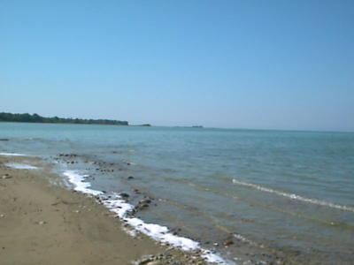
The shore areas and beaches have become popular with summer tourists.
WeatherEdit
Saginaw Bay Light No. 1, a navigational light 11 nautical miles northeast of the mouth of the Saginaw River, houses NOAA weather equipment providing weather conditions for the Bay. Gravelly Shoal Light, located near Charity Island, also houses a weather station.