
County seat Wyoming Website www.lambtononline.ca/ Province Ontario University Lambton College | Formed 1849 Time zone EST (UTC-5) Area 3,002 km² Population 124,623 (2011) | |
 | ||
Municipalities ListCity of SarniaMunicipality (city) of Lambton ShoresTown of PetroliaTown of Plympton-WyomingTownship of Brooke-AlvinstonTownship of Dawn-EuphemiaTownship of EnniskillenTownship of St. ClairTownship of WarwickVillage of Oil SpringsVillage of Point Edward Points of interest Destinations | ||
Lambton County is a county in Southwestern Ontario, Canada. It is bordered on the north by Lake Huron, which is drained by the St. Clair River, the county's western border and part of the Canada-United States border. To the south is Lake Saint Clair and Chatham-Kent, another county in Ontario. Lambton County's northeastern border follows the Ausable River and Parkhill Creek north until it reaches Lake Huron at the beach community of Grand Bend. The county seat is in the Town of Plympton-Wyoming.
Contents
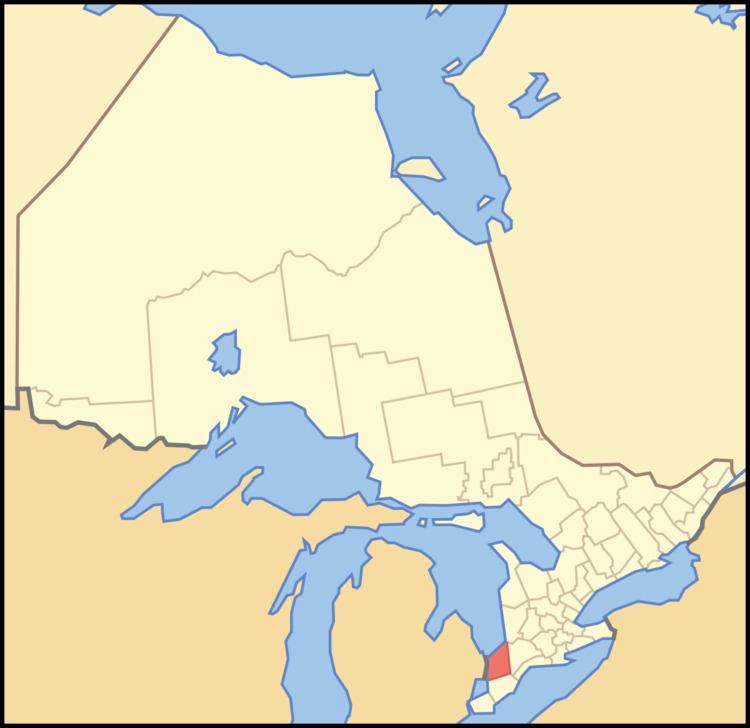
- Map of Lambton County ON Canada
- Cities and towns
- Townships and villages
- Independent First Nation reserves
- Demographics
- Economy
- Highways
- Emergency services
- References
Map of Lambton County, ON, Canada
The largest city in Lambton County is Sarnia, which is located at the mouth of the St. Clair River. The two Blue Water Bridges cross the river at Sarnia, connecting it to Port Huron, Michigan. The bridges are one of the busiest border crossings between the two countries. The river is also traversed by two passenger ferries further south, and a rail tunnel, also at Sarnia, runs underneath it. The CN rail tunnel accommodates double stacked rail cars.
Lambton County started as a part of the District of Hesse. The district of Hesse included British territories west of Long Point (practically all of western Ontario). The district was later divided and renamed using English district names (Essex, Suffolk, Kent, etc.). Lambton was part of Kent county. In 1849 districts were abolished and the County of Lambton was formed. Lambton and Kent first shared the capital city of Sandwich (since renamed as Windsor, Ontario). In 1852 the partnership was dissolved and Lambton become a full county. It is named in honour of the Earl of Durham who lived in Lambton Castle.
Cities and towns
Townships and villages
Independent First Nation reserves
Independent of the County, but located within the Lambton census division, are three First Nations reserves:
Demographics
Historic population:
The demographics below are for the Lambton census division, which combines Lambton County and three First Nations reserves.
Economy
Total employment for Lambton County is 66,370. Of those, 9,760 (14.7%) are employed in manufacturing; 7,545 (11.4%) in retail trade; 5,080 (7.7%) in accommodation and food services; and 3,155 (4.8%) are employed in agriculture.
Petrochemical and refining is the largest manufacturing sector in Lambton County's economy. Established during World War II, Sarnia and the area along the St. Clair River is home to a major processing centre for oil from Alberta.
In late 2010 and early 2011 a number of companies announced plans to provide ethane from the Marcellus Shale in the USA to Lambton County industries, providing a potential new feedstock for the production of ethylene in Lambton County.
Lambton County is the site of North America's first drilled commercial oil well at Oil Springs in 1858.
Tourism is another important industry in Lambton County, especially along the lake and river. The community of Grand Bend and the Pinery Provincial Park are especially popular tourist destinations, attracting thousands of people each week throughout the summer to their long, uninterrupted beaches. The part of Lambton County along Lake Huron known as Lambton Shores depends almost entirely upon the seasonal industries of tourism and agriculture for its well-being. There are also popular conservation areas along the St. Clair River, and a conservation area named Rock Glen Falls near Arkona along the Ausauble River internationally known for its Devonian period fossils.
Lambton County has 2,346 farms with a total of 592,793 acres. The largest single use of farmland in Lambton is crop production, with 85% of total farmland reported as land in crops. Over the last 20 years soybeans, wheat, and grain corn have accounted for over 80% of total area crop production in Lambton. The fourth and fifth leading crops are sugar beets and hay. Oats, barley and mixed grains are also produced. Top animal production includes dairy, beef, hog, and poultry.
Highways
Emergency services
The County of Lambton Emergency Medical Services (EMS) provides land ambulance services to the residents of Lambton County. The County of Lambton EMS has stations in Brigden, Corunna, Forest, Grand Bend, Petrolia, Thedford, Watford, and two stations in Sarnia. Lambton EMS has ten ambulances and employs approximately 150 full- and part-time paramedics.