Postcode(s) 6390 Elevation 337 m Local time Friday 8:18 PM | Postal code 6390 | |
 | ||
Weather 17°C, Wind SE at 16 km/h, 47% Humidity | ||
North Bannister is a small town located in the Wheatbelt region of Western Australia, 94 kilometres (58 mi) south-southeast of the state capital, Perth along Albany Highway between Armadale and Williams.
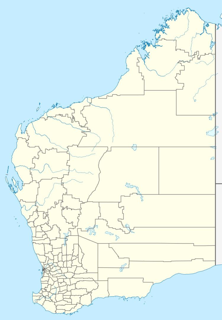
Map of North Bannister WA 6390, Australia
The town's name honours Captain Thomas Bannister who discovered the nearby Bannister River, a tributary of the Hotham River, in 1830 while leading the first overland expedition from Perth to King George Sound (now Albany). The name was applied to the river in 1832 by Surveyor-General John Septimus Roe.
Today, North Bannister Roadhouse, a roadhouse with takeaway and sit-down meals, operates on Albany Highway. The roadhouse is a stop on the Transwa bus services to Albany (GS1) and Esperance (GE1).
References
North Bannister, Western Australia Wikipedia(Text) CC BY-SA
