Established 1912 Elevation 246 m Local time Wednesday 8:18 PM | Postcode(s) 6308 Founded 1912 Postal code 6308 | |
 | ||
Location 131 km (81 mi) from Perth11 km (7 mi) from Wandering Weather 23°C, Wind SE at 21 km/h, 57% Humidity | ||
Dwarda is a small town in the Wheatbelt region of Western Australia, 11 kilometres (7 mi) south of the town of Wandering on the Hotham River.
Contents
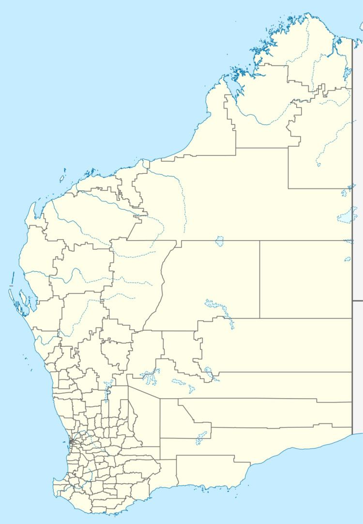
Map of Dwarda WA 6308, Australia
History
The name is a contraction of nearby Dwardadine Creek, with "dwarda" being an Noongar Aboriginal name for the dingo. The townsite was first requested by the Wandering Road Board in 1912, with the hope it could become a future terminus for the Hotham Valley Railway, and the townsite, initially called "Dampier", was gazetted in 1914. The town however did not attract settlement. In 1940-41 a timber mill was built here by JC "Charlie" Tucak which operated for some years.
The townsite is owned by the Horan family, though most of the buildings were destroyed by arson in the mid-1980s.
References
Dwarda, Western Australia Wikipedia(Text) CC BY-SA
