
Area code(s) 91 177 xxxxxxx Area 5,131 km² Local time Saturday 7:44 PM | Time zone IST (UTC+5:30) ISO 3166 code IN-HP Population 813,384 (2011) | |
 | ||
Weather 16°C, Wind N at 6 km/h, 37% Humidity Colleges and Universities Himachal Pradesh University, Himachal Pradesh National Law University, Shimla Points of interest Jakhoo, The Ridge - Shimla, Christ Church, Rashtrapati Niwas, Kalka–Shimla Railway | ||
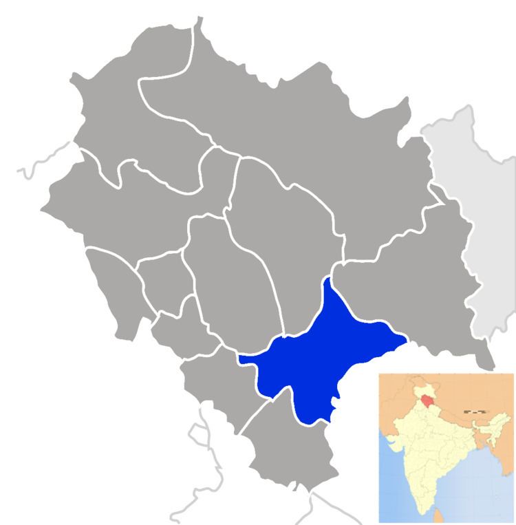
Shimla district of Himachal Pradesh lies between longitude 77.00" and 78.19" east and latitude 30.45" and 31.44" north, with its headquarters in Shimla. It is surrounded by Mandi and Kullu in the north, Kinnaur in the east, Uttarakhand in the southeast, Solan to the southwest and Sirmaur in the south. The elevation of the district ranges from 300 metres (984 ft) to 6,000 metres (19,685 ft).
Contents
- Map of Shimla Himachal Pradesh
- By road
- Population
- Literacy and education levels
- Education level attained
- Age groups
- Religions three largest denominations
- Major towns
- Type of house of households occupying
- Demographics
- References
Map of Shimla, Himachal Pradesh
As of 2011 it is the third most populous district of Himachal Pradesh (out of 12), after Kangra and Mandi. It is the most urbanized district of Himachal Pradesh.
The most commonly practised religion in the district is Hinduism. Hindi and Pahari are the languages spoken. Tourism and agriculture/horticulture are the majors source of income.
By road
Shimla is connected by road to all the major towns. Distance between the major towns and Shimla:
Population
As of Census of India 2001
Literacy and education levels
Education level attained
Total - 504,330
Age groups
Religions (three largest denominations)
Major towns
- Shimla (M Corp.) - 142,555
- Rampur (M Cl) - 9,653
- Rohru (M CI) - 8,205
- Chaupal (NP) - 6786
- Theog (M CI) - 5435
Total inhabited villages - 2,520
Type of house (% of households occupying)
Demographics
According to the 2011 census Shimla district has a population of 813,384, roughly equal to the nation of Comoros or the US state of South Dakota. This gives it a ranking of 483rd in India (out of a total of 640). The district has a population density of 159 inhabitants per square kilometre (410/sq mi). Its population growth rate over the decade 2001-2011 was 12.58%. Shimla has a sex ratio of 916 females for every 1000 males, and a literacy rate of 84.55%. It has the highest urban population of all districts in Himachal. The urban population forms 24.77% of the district. Simla district has always been a Hindu majority district but has gone through numerous change throughout the decades.