
Length 951 km | ||
 | ||
Bridges | ||
The Sheyenne River is one of the major tributaries of the Red River of the North, meandering 591 miles (951 km) across eastern North Dakota, United States.
Contents
Map of Sheyenne River, North Dakota, USA
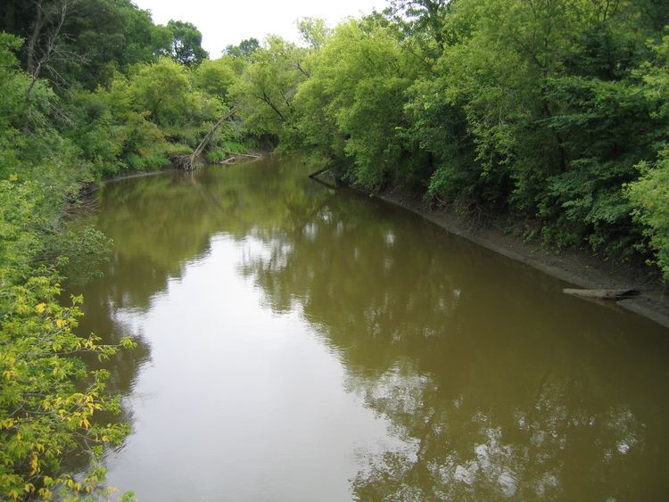
The river begins about 15 miles (24 km) north of McClusky, North Dakota, and flows generally eastward before turning south near McVille. The southerly flow of the river continues through Griggs and Barnes counties before it turns in a northeastward direction near Lisbon. The river forms the 27-mile long Lake Ashtabula behind the Baldhill Dam north of Valley City, which was constructed in 1951 for flood control by the US Army Corps of Engineers.
The Sheyenne is classified as a "perch river," as its banks are higher than the surrounding ground, formed as natural levees in flooding centuries ago. When floodwaters break through the banks, they spread in a wide area.
From Lisbon, the river crosses the Sheyenne National Grassland and enters Cass County near the city of Kindred. This stretch of the river is designated a National Wild and Scenic Riverway. From Kindred, the river flows north-northeastward through the fertile plains of the Red River Valley.
The character of the river changes as it leaves the sandy grasslands and picks up the fertile clay soil of the Red River Valley. Previously, the river posed a flooding hazard to cities such as West Fargo and Harwood, where it joins the Red River of the North, which flows north to Lake Winnipeg in Manitoba. Thanks to a diversion canal completed near Horace and extending past West Fargo, these major Sheyenne River cities fared well in the 1997 Red River Flood. By contrast, this flood devastated the cities of Grand Forks, North Dakota and East Grand Forks, Minnesota.
The Sheyenne diversion canal, built 1990-1992 in a joint federal-state effort, channels waters around the edges of the cities to draw off floodwaters. It was built primarily by the US Army Corps of Engineers, at a cost of $27.8 million. In West Fargo alone, the diversion project involved construction of
The Sheyenne River was named after the Cheyenne Indians of the area.
CrossingsEdit
The river is crossed by several historic bridges, including the Lisbon Bridge and the Colton's Crossing Bridge in Lisbon; the West Park Bridge in Valley City; the West Antelope Bridge in Flora; the Romness Bridge near Cooperstown; and the Nesheim Bridge at McVille.
At Valley City, North Dakota, it is crossed by several more bridges, including the Hi-Line Railroad Bridge.