
Country United States FIPS code 38-49580 Elevation 448 m Population 345 (2013) Area code 701 | Time zone Central (CST) (UTC-6) GNIS feature ID 1030165 Zip code 58254 Local time Thursday 5:40 PM | |
 | ||
Weather 2°C, Wind SE at 24 km/h, 87% Humidity Area 3.911 km² (3.73 km² Land / 18 ha Water) | ||
Nelson county health system mcville north dakota
McVille is a city in Nelson County, North Dakota, United States. The population was 349 at the 2010 census. McVille was founded in 1906.
Contents
- Nelson county health system mcville north dakota
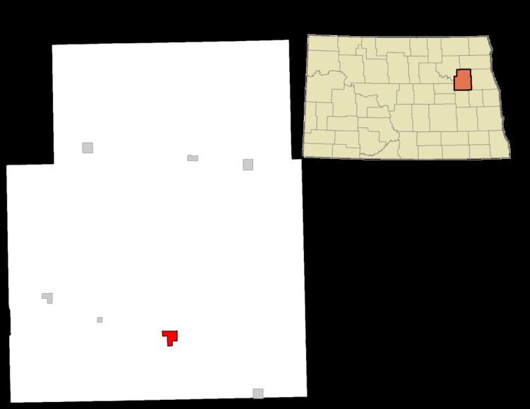
- Map of McVille ND 58254 USA
- History
- Today
- Geography
- 2010 census
- 2000 census
- Climate
- References
Map of McVille, ND 58254, USA
History
McVille was founded in 1906 after the railroad was established as a continuation from Aneta, North Dakota. McVille was founded by the McDougall family. The town was so named because many of the early residents in the area had last names starting with "Mc".
The original town was a few miles away from its present location. With the advancement of the railroad system, the town was moved.
Prominent early businesses included an elevator, a bank, a blacksmith shop, and a general store.
Today
Today, McVille is home to several businesses. Area newspapers include the McVille Messenger and the McVille Journal. The health system includes a hospital, a Care Center, and a clinic. There is a volunteer fire department.
McVille supports the Nelson County Highway Department and is part of Dakota Prairie School District #1. McVille is home to the school district's elementary building.
Geography
McVille is located at 47°45′54″N 98°10′35″W (47.765046, -98.176521).
According to the United States Census Bureau, the city has a total area of 1.51 square miles (3.91 km2), of which, 1.44 square miles (3.73 km2) is land and 0.07 square miles (0.18 km2) is water.
2010 census
As of the census of 2010, there were 349 people, 190 households, and 95 families residing in the city. The population density was 242.4 inhabitants per square mile (93.6/km2). There were 247 housing units at an average density of 171.5 per square mile (66.2/km2). The racial makeup of the city was 98.3% White, 0.3% African American, and 1.4% from two or more races. Hispanic or Latino of any race were 0.3% of the population.
There were 190 households of which 16.3% had children under the age of 18 living with them, 42.1% were married couples living together, 6.3% had a female householder with no husband present, 1.6% had a male householder with no wife present, and 50.0% were non-families. 47.4% of all households were made up of individuals and 24.2% had someone living alone who was 65 years of age or older. The average household size was 1.84 and the average family size was 2.59.
The median age in the city was 52.9 years. 15.2% of residents were under the age of 18; 4.6% were between the ages of 18 and 24; 17.5% were from 25 to 44; 35.3% were from 45 to 64; and 27.5% were 65 years of age or older. The gender makeup of the city was 47.0% male and 53.0% female.
2000 census
As of the census of 2000, there were 470 people, 217 households, and 106 families residing in the city. The population density was 326.9 people per square mile (126.0/km²). There were 266 housing units at an average density of 185.0 per square mile (71.3/km²). The racial makeup of the city was 100.00% White.
There were 217 households out of which 20.3% had children under the age of 18 living with them, 41.9% were married couples living together, 6.9% had a female householder with no husband present, and 50.7% were non-families. 49.3% of all households were made up of individuals and 27.6% had someone living alone who was 65 years of age or older. The average household size was 1.95 and the average family size was 2.82.
In the city, the population was spread out with 18.9% under the age of 18, 3.4% from 18 to 24, 16.4% from 25 to 44, 24.0% from 45 to 64, and 37.2% who were 65 years of age or older. The median age was 52 years. For every 100 females there were 83.6 males. For every 100 females age 18 and over, there were 83.2 males.
The median income for a household in the city was $21,818, and the median income for a family was $36,250. Males had a median income of $24,531 versus $22,083 for females. The per capita income for the city was $19,776. About 11.9% of families and 16.7% of the population were below the poverty line, including 26.4% of those under age 18 and 12.3% of those age 65 or over.
Climate
This climatic region is typified by large seasonal temperature differences, with warm to hot (and often humid) summers and cold (sometimes severely cold) winters. According to the Köppen Climate Classification system, McVille has a humid continental climate, abbreviated "Dfb" on climate maps.