
County Bates ZIP codes 64720, 64730 Elevation 258 m Local time Friday 5:40 PM | Time zone CST (UTC-6) GNIS feature ID 0766307 Area 92.76 km² Population 277 (2000) | |
 | ||
Weather 9°C, Wind NE at 13 km/h, 79% Humidity | ||
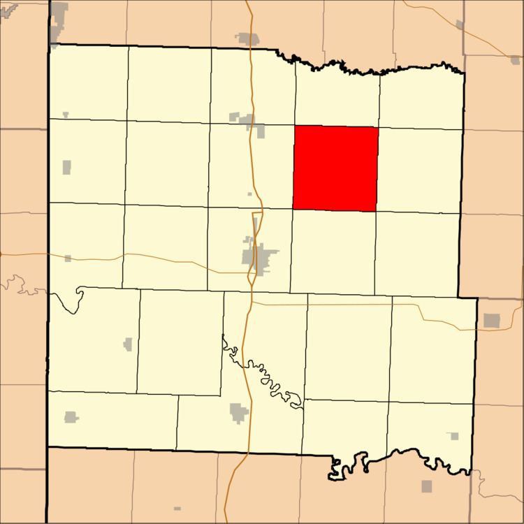
Shawnee Township is one of twenty-four townships in Bates County, Missouri, USA. As of the 2000 census, its population was 277.
Contents
- Map of Shawnee Township MO USA
- Geography
- Adjacent townships
- Cemeteries
- School districts
- Political districts
- References
Map of Shawnee Township, MO, USA
Shawnee Township has the name of the Shawnee Indians.
Geography
According to the United States Census Bureau, Shawnee Township covers an area of 35.82 square miles (92.76 square kilometers); of this, 35.76 square miles (92.61 square kilometers, 99.84 percent) is land and 0.06 square miles (0.15 square kilometers, 0.16 percent) is water.
Adjacent townships
Cemeteries
The township contains these three cemeteries: Cloud, France and Nichols.
School districts
Political districts
References
Shawnee Township, Bates County, Missouri Wikipedia(Text) CC BY-SA