
County Bates ZIP codes 64720, 64730 Elevation 265 m Local time Sunday 2:40 PM | Time zone CST (UTC-6) GNIS feature ID 0766300 Area 93.82 km² Population 819 (2000) | |
 | ||
Weather 28°C, Wind S at 26 km/h, 45% Humidity | ||
Mound Township is one of twenty-four townships in Bates County, Missouri, USA. As of the 2000 census, its population was 819.
Contents
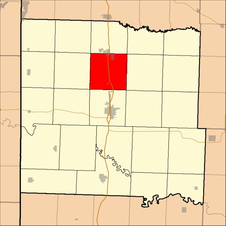
- Map of Mound Township MO USA
- Geography
- Cities towns villages
- Adjacent townships
- Major highways
- Landmarks
- School districts
- Political districts
- References
Map of Mound Township, MO, USA
Mound Township was named for the mounds within its borders.
Geography
According to the United States Census Bureau, Mound Township covers an area of 36.23 square miles (93.82 square kilometers); of this, 36.13 square miles (93.59 square kilometers, 99.75 percent) is land and 0.09 square miles (0.23 square kilometers, 0.25 percent) is water.
Cities, towns, villages
Adjacent townships
Major highways
Landmarks
School districts
Political districts
References
Mound Township, Bates County, Missouri Wikipedia(Text) CC BY-SA