
County Bates GNIS feature ID 0766301 Elevation 255 m Local time Monday 12:57 AM | Time zone CST (UTC-6) Area 93.11 km² Zip code 64730 Population 5,060 (2000) | |
 | ||
Weather 21°C, Wind S at 21 km/h, 64% Humidity | ||
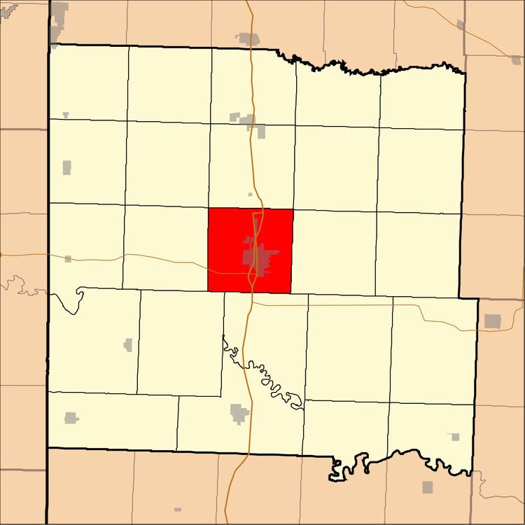
Mount Pleasant Township is one of twenty-four townships in Bates County, Missouri, USA. As of the 2000 census, its population was 5,060.
Contents
- Map of Mt Pleasant Township MO 64730 USA
- Geography
- Cities towns villages
- Adjacent townships
- Cemeteries
- Major highways
- Airports and landing strips
- Lakes
- Landmarks
- School districts
- Political districts
- References
Map of Mt Pleasant Township, MO 64730, USA
The township was descriptively named.
Geography
According to the United States Census Bureau, Mount Pleasant Township covers an area of 35.95 square miles (93.11 square kilometers); of this, 35.79 square miles (92.71 square kilometers, 99.57 percent) is land and 0.16 square miles (0.41 square kilometers, 0.44 percent) is water.
Cities, towns, villages
Adjacent townships
Cemeteries
The township contains these two cemeteries: Morris and Oak Hill.
Major highways
Airports and landing strips
Lakes
Landmarks
School districts
Political districts
References
Mount Pleasant Township, Bates County, Missouri Wikipedia(Text) CC BY-SA