
County Bates GNIS feature ID 0766308 Area 93.56 km² Population 288 (2000) | Time zone CST (UTC-6) Elevation 262 m Local time Thursday 8:49 AM | |
 | ||
ZIP codes 64720, 64730, 64770, 64788 Weather 9°C, Wind S at 19 km/h, 86% Humidity | ||
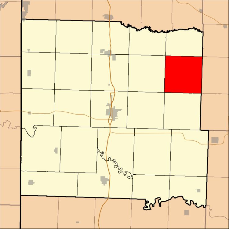
Spruce Township is one of twenty-four townships in Bates County, Missouri, USA. As of the 2000 census, its population was 288.
Contents
- Map of Spruce Township MO USA
- Geography
- Unincorporated towns
- Adjacent townships
- Cemeteries
- School districts
- Political districts
- References
Map of Spruce Township, MO, USA
Geography
According to the United States Census Bureau, Spruce Township covers an area of 36.13 square miles (93.56 square kilometers).
Unincorporated towns
(This list is based on USGS data and may include former settlements.)
Adjacent townships
Cemeteries
The township contains these three cemeteries: Antioch, Poage and Walnut Grove.
School districts
Political districts
References
Spruce Township, Bates County, Missouri Wikipedia(Text) CC BY-SA