
County Bates ZIP codes 64720, 64725, 64747 Elevation 261 m Local time Saturday 3:48 AM | Time zone CST (UTC-6) GNIS feature ID 0766294 Area 64.9 km² Population 251 (2000) | |
 | ||
Weather 9°C, Wind N at 14 km/h, 52% Humidity | ||
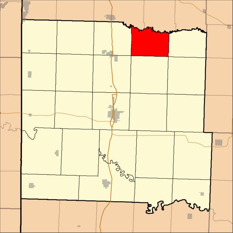
Grand River Township is one of twenty-four townships in Bates County, Missouri, USA. As of the 2000 census, its population was 251.
Contents
- Map of Grand River Township MO USA
- Geography
- Unincorporated towns
- Adjacent townships
- School districts
- Political districts
- References
Map of Grand River Township, MO, USA
Grand River Township was established in 1870, and named after the Grand River.
Geography
According to the United States Census Bureau, Grand River Township covers an area of 25.06 square miles (64.9 square kilometers).
Unincorporated towns
(This list is based on USGS data and may include former settlements.)
Adjacent townships
School districts
Political districts
References
Grand River Township, Bates County, Missouri Wikipedia(Text) CC BY-SA